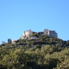
Les Matelles, Administrative commune in Hérault, France.
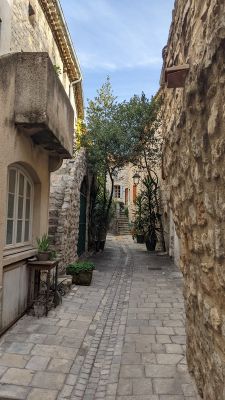
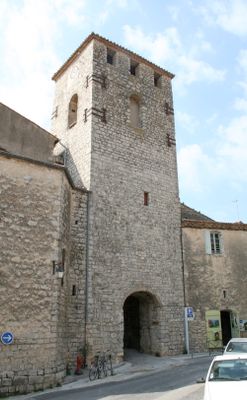
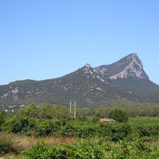
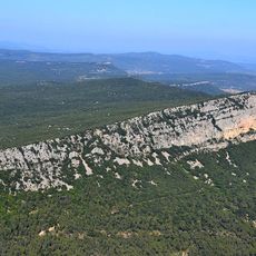
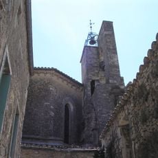
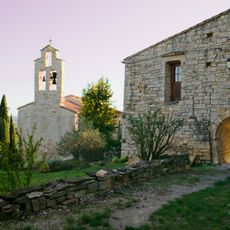
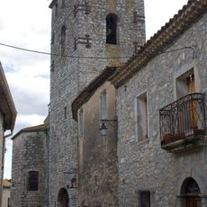
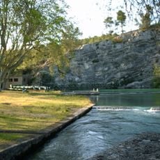
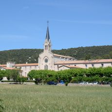
Les Matelles is an administrative commune in the Hérault department, situated in the Occitanie region of southern France. The village sits among rural landscapes and shares borders with other local municipalities.
The commune underwent an administrative reorganization in 2017 when it transferred from the Montpellier district to the Lodève district. This change reshaped the local governance structure for residents and public services.
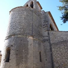
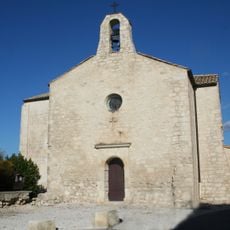
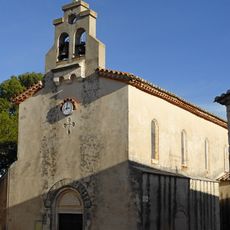
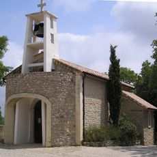
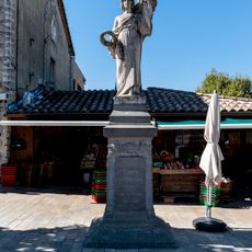
The municipal government maintains strong connections to Occitan traditions through regular community gatherings and local celebrations throughout the calendar year.
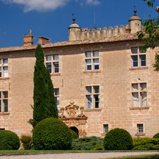
The town hall is located on Avenue Val de Montferrand and handles administrative services during weekdays. Those needing local government assistance should plan visits during standard business hours.
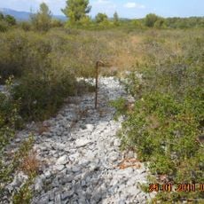
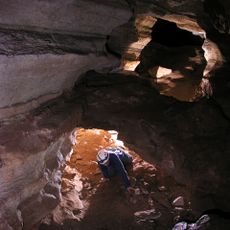
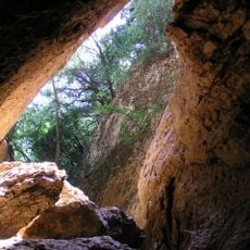
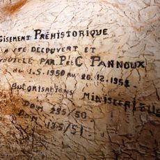
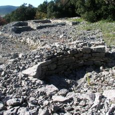
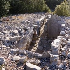
The Aven d'incinération du Suquet is a prehistoric burial site located within the commune that holds archaeological importance for the Hérault region. This location draws visitors interested in ancient human settlement and funerary customs.
Location: Hérault
Location: arrondissement of Lodève
Location: Comunautat de comunas dau Grand Puòg de Sant Lop
Elevation above the sea: 60 m
Industry: administration publique générale
Shares border with: Cazevieille, Murles, Prades-le-Lez, Saint-Clément-de-Rivière, Saint-Gély-du-Fesc, Saint-Jean-de-Cuculles, Le Triadou, Viols-en-Laval
Address: 70 avenue du Val-de-Montferrand, 34270 Les Matelles
Phone: +33467841868
Email: mairie@mairiedesmatelles.fr
Website: https://mairiedesmatelles.fr
GPS coordinates: 43.73056,3.80889
Latest update: December 10, 2025 16:22
Pic Saint-Loup
5.4 km
Hortus
7.4 km
Château de Montferrand
5.6 km
Prehistoric village of Cambous
6.8 km
Château de la Roquette
7 km
Château de Cambous
7.2 km
Cap barré de Garastre
5.5 km
Église de la Nativité-de-Saint-Jean-Baptiste de Saint-Jean-de-Cuculles
3.2 km
A la p'tite ferme
6.7 km
Église de Saint-Vincent-de-Barbeyrargues
6.1 km
Golf du Pic Saint Loup
5.1 km
Église Saint-Gilles de Saint-Gély-du-Fesc
4.2 km
Église Saint-Jacques-le-Majeur de Prades-le-Lez
5.6 km
Église Saint-Gérard de Mas-de-Londres
7.3 km
Église Saint-Blaise de Combaillaux
6.9 km
Grotte de l'Hortus
7.4 km
Église Notre-Dame-de-l'Assomption des Matelles
106 m
Église Saint-Clément de Saint-Clément-de-Rivière
6.1 km
Chapelle Saint-Joseph de Pic Saint-Loup
5.4 km
Source du Lirou
387 m
Source du Lez
3.2 km
Église de l'Invention-de-Saint-Étienne de Cazevieille
4.6 km
Grotte du Suquet
1.6 km
Boussargues (Argelliers, Hérault): Un habitat ceinturé chalcolithique: Les fouilles du secteur ouest. Albert Colomer, Jacques Coularou, and Xavier Gutherz. Documents d'Archéologie Française No. 24. Editions de la Maison des Sciences de L'Homme, P
7.8 km
Saint-Mathieu-de-Treviers war memorial
6.5 km
Grand Juyan de Roubiac
3.2 km
Chapelle du couvent de Notre-Dame des Champs
1.3 km
Enceinte de Prades-le-Lez
5.6 kmVisited this place? Tap the stars to rate it and share your experience / photos with the community! Try now! You can cancel it anytime.
Discover hidden gems everywhere you go!
From secret cafés to breathtaking viewpoints, skip the crowded tourist spots and find places that match your style. Our app makes it easy with voice search, smart filtering, route optimization, and insider tips from travelers worldwide. Download now for the complete mobile experience.
A unique approach to discovering new places❞
— Le Figaro
All the places worth exploring❞
— France Info
A tailor-made excursion in just a few clicks❞
— 20 Minutes