
Nantoin, commune in Isère, France
Location: canton of La Côte-Saint-André
Location: Isère
Location: 比耶夫尔-伊泽尔市镇公共社区
Location: arrondissement of Vienne
Elevation above the sea: 609 m
Industry: administration publique générale
Shares border with: Champier, Châtonnay, Commelle, La Côte-Saint-André, Mottier
Website: http://nantoin.com
GPS coordinates: 45.43556,5.26917
Latest update: April 3, 2025 21:37
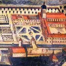
Bonnevaux Abbey
9.2 km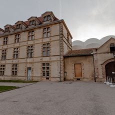
Château de La Côte-Saint-André
4.5 km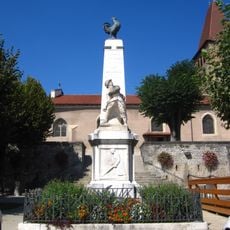
La Côte-Saint-André war memorial
4.7 km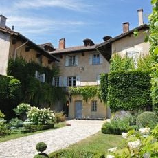
Musée Hector-Berlioz
4.7 km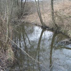
Hien
8.1 km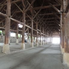
Halle de La Côte-Saint-André
4.6 km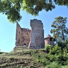
Château de Bocsozel
3.4 km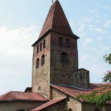
Église Saint-André de La Côte-Saint-André
4.6 km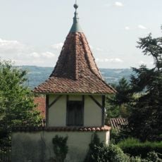
Ferme Berlioz
4.6 km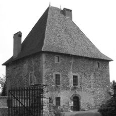
Château de Belmont
8.9 km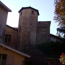
Hôtel de Bocsozel
4.6 km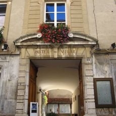
La Côte-Saint-André. Hôtel de ville
4.7 km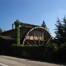
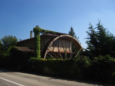
Moulin de Nantoin
164 m
Château d'Allivet
5.1 km
Église Saint-Loup de Penol
7.9 km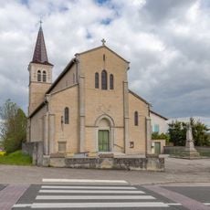
Église Saint-Augustin, Badinières
8 km
Golf de la Bievre
8.5 km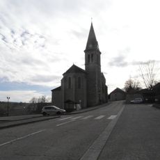
Église Saint-Christophe de Belmont
8.8 km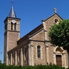
Église Saint-Nicolas de Mottier
3.9 km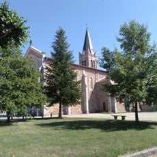
Église Saints-Pierre-et-Paul de Longechenal
6.4 km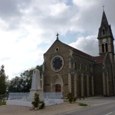
Église Saint-Didier de Semons
5.4 km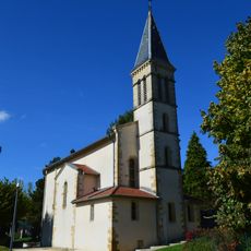
Église Saint-Laurent d'Arzay
7.8 km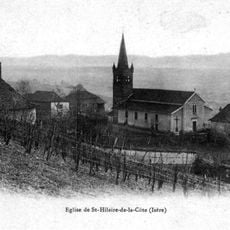
Église Saint-Hilaire de Saint-Hilaire-de-la-Côte
6.3 km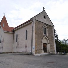
Église Saint-Joseph de Lieudieu
7.2 km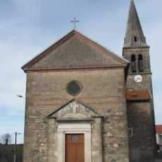
Église Saint-Ferréol de Bizonnes
9 km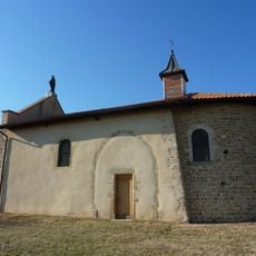
Chapelle Notre-Dame du Mont in Gillonnay
4.2 km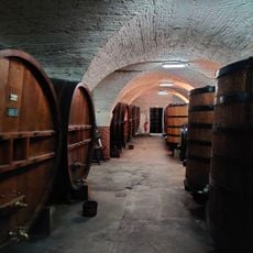
Musée des Liqueurs
4.7 km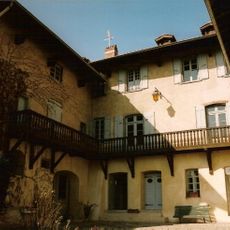
Maison natale de Berlioz
4.7 kmVisited this place? Tap the stars to rate it and share your experience / photos with the community! Try now! You can cancel it anytime.
Discover hidden gems everywhere you go!
From secret cafés to breathtaking viewpoints, skip the crowded tourist spots and find places that match your style. Our app makes it easy with voice search, smart filtering, route optimization, and insider tips from travelers worldwide. Download now for the complete mobile experience.

A unique approach to discovering new places❞
— Le Figaro
All the places worth exploring❞
— France Info
A tailor-made excursion in just a few clicks❞
— 20 Minutes