
Champagnier, commune in Isère, France
Location: canton of Vizille
Location: Isère
Location: arrondissement of Grenoble
Elevation above the sea: 346 m
Shares border with: Varces-Allières-et-Risset, Échirolles, Jarrie, Le Pont-de-Claix
Address: Place de l'Église, 38800 Champagnier 38800
Phone: +33476980883
Email: mairie@champagnier.fr
Website: http://champagnier.fr
GPS coordinates: 45.11222,5.72944
Latest update: May 27, 2025 08:07
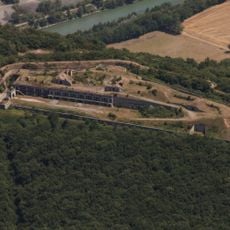
Fort de Comboire
4.9 km
Espace Comboire
4.9 km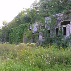
Fort de Montavie
3.5 km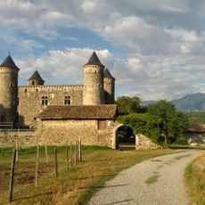
Château de Bon Repos
2.1 km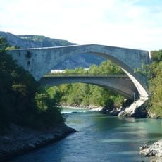
Pont Lesdiguières
2.8 kmCosmocité Science Center
3.8 km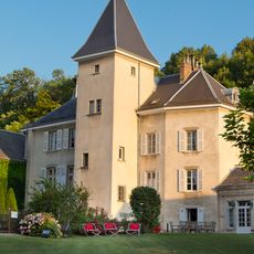
Château de la Commanderie
4.2 km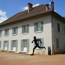
Musée Géo-Charles
4.8 km
Musée de la chimie
2 kmRéserve naturelle régionale des Isles du Drac
2.2 km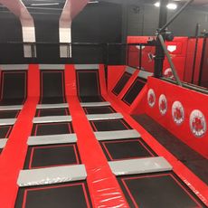
Jump Park
3.1 km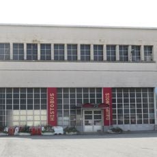
Histo Bus Dauphinois
3.5 km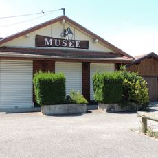
Musée Autrefois
2.9 km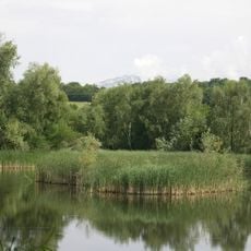
Réserve naturelle régionale de l'étang de Haute-Jarrie
1.5 km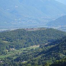
Colline De Comboire
4.8 km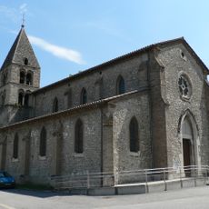
Église Saint-Pierre de Varces
4.9 km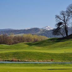
Golf International de Grenoble
2.5 km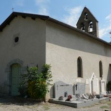
Chapelle Saint-Pierre
4.4 km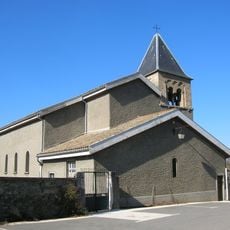
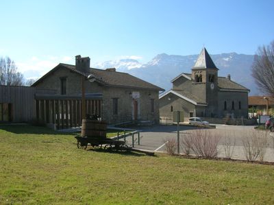
Église Saint-André de Champagnier
564 m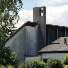
Église Saint-Michel de Champ-sur-Drac
3.4 km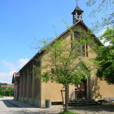
Église Jésus-Ouvrier de Jarrie
2.2 km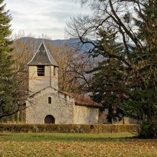
Chapelle Saint-Maurice de Fontagneux
3.1 km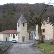
Église Saint-Sulpice
3.2 km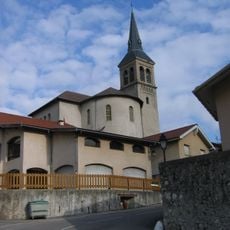
Église Saint-Pierre de Claix
4.6 km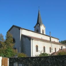
Église Saint-Jacques
3.1 km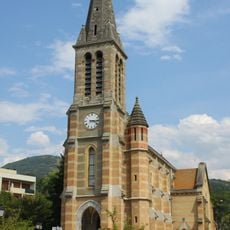
Saint-Christophe
4.3 km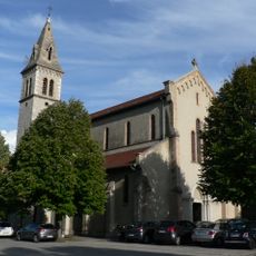
Église Saint-Étienne du Pont-de-Claix
2.4 km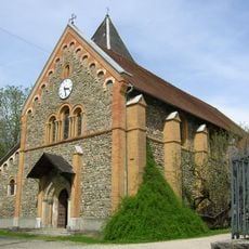
Église Saint-Étienne de Jarrie
2.8 kmVisited this place? Tap the stars to rate it and share your experience / photos with the community! Try now! You can cancel it anytime.
Discover hidden gems everywhere you go!
From secret cafés to breathtaking viewpoints, skip the crowded tourist spots and find places that match your style. Our app makes it easy with voice search, smart filtering, route optimization, and insider tips from travelers worldwide. Download now for the complete mobile experience.

A unique approach to discovering new places❞
— Le Figaro
All the places worth exploring❞
— France Info
A tailor-made excursion in just a few clicks❞
— 20 Minutes