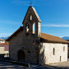
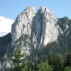
Colline De Comboire, Protected natural area in Claix and Seyssinet-Pariset, France.
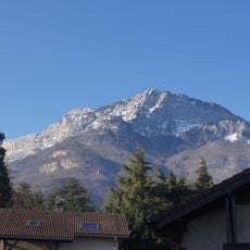
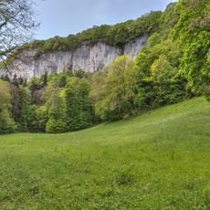
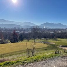
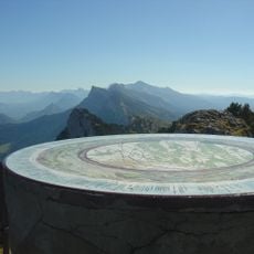
Colline de Comboire is a protected natural area spanning both Claix and Seyssinet-Pariset that rises to about 533 meters. The hill is marked by limestone cliffs and contains oak forests alongside alluvial woodland along the Drac River.
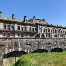
The summit fort at 533 metres was built to control the southern branch of the Grenoble "Y", the meeting of the Isère and Drac valleys. The hill was later separated from the Vercors massif by the col de Cossey, also called col de Comboire. The Isère department classified the rocher de Comboire in Seyssins as an espace naturel sensible, and the hill is also a type I ZNIEFF and a biotope protection area under prefectoral decree.
The name Comboire attaches to the rocks, the hill and the col de Cossey separating them from the Vercors massif. The site is classed as an espace naturel sensible by the Isère department and as a ZNIEFF type I, and access remains free, so the wooded slope above the Drac is walked year-round.
Access to the hill remains free, and the site is reachable from Claix and Seyssins, the two communes it straddles. The col de Cossey, also called col de Comboire, separates the rocks from the rest of the Vercors massif and serves as a passage toward the ridge. The summit fort stands at 533 metres, above the Drac, the A480 motorway and the Espace Comboire shopping zone.
The limestone cliffs serve as nesting sites for European eagle owls and peregrine falcons, birds rarely seen elsewhere in the area. The slopes also support unusual plant species like Juniperus thurifera that are found nowhere else nearby.
The community of curious travelers
AroundUs brings together thousands of curated places, local tips, and hidden gems, enriched daily by 93,214 contributors worldwide.