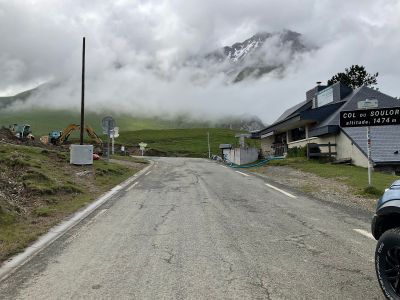
Col du Soulor, Mountain pass in Arbéost and Arrens-Marsous, France
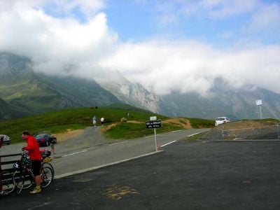
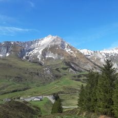
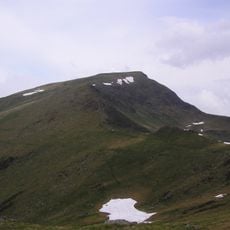
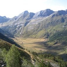
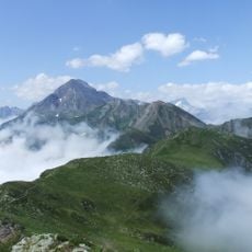
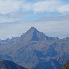
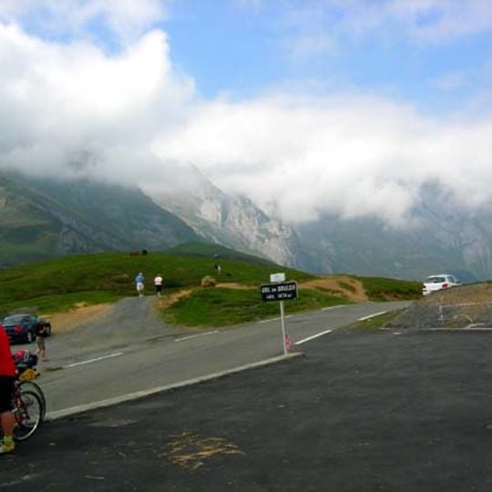
The col du Soulor is a mountain pass in the French Pyrenees, linking the Ouzom and Arens valleys at roughly 4,800 feet (about 1,470 m) above sea level. The road crossing it is paved but narrow and winding, with rocky slopes on one side and open views over the valleys on the other.
For centuries, traders and shepherds used this pass to move between valleys with their flocks, following routes that predate any paved road. Over time, those tracks were improved into the road that exists today, turning the crossing into a fixed point in the connections across this part of the Pyrenees.
The col du Soulor has been part of the Tour de France since 1910, and cycling fans still come here to ride the same road the race has used for over a century. The steepest sections just before the top give a clear sense of why this climb has a lasting reputation among riders.
The pass is generally open from late spring through early fall, but snow and ice can close the road during winter months. Before heading up, it is worth checking conditions, as the road is narrow and can become difficult quickly when the weather turns.
The name Soulor comes from Gascon, the old language spoken in this part of the Pyrenees, which points to a long-standing connection between local speech and the mountain landscape. Many place names around the pass still carry traces of this older way of naming the land.
The community of curious travelers
AroundUs brings together thousands of curated places, local tips, and hidden gems, enriched daily by 90,777 contributors worldwide.