Moun Né, Mountain summit in Hautes-Pyrénées, France
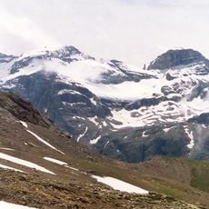
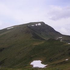
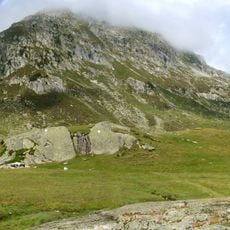
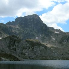
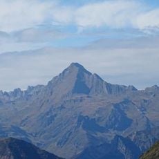
Moun Né is a 2,724-meter (8,937-foot) summit in the French Pyrenees with steep slopes and exposed rocky terrain on its ascending routes. The mountain features multiple pathways that traverse alpine meadows before reaching a rocky ridge at the top.
The sources record no historical events, dates or figures for Moun Né; its documented history is one of naming and measurement. The name comes from the Occitan mouné, "black summit", the language spoken in this part of the Hautes-Pyrénées. The summit is mapped at 2,724 metres, north of the Grand Barbat, between the spa town of Cauterets and the Estaing valley in the val d'Azun.
The name Moun Né comes from the Occitan word mouné, meaning "black summit", a reference to the dark rock of the upper slopes. The peak rises above the cirque du Lys and the Cambasque valley, between the spa town of Cauterets and the Estaing valley in the val d'Azun.
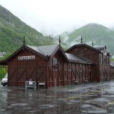
The ascent typically begins from Cauterets and requires proper equipment throughout, including sturdy boots and protection for rocky sections. Weather conditions change quickly at this elevation, so hikers should remain flexible and be prepared to turn back if needed.
The name Moun Né comes from the Occitan mouné, meaning "black summit", a reference to the dark rock of the upper slopes. The peak rises to 2,724 metres just north of the Grand Barbat, above the cirque du Lys and the Cambasque valley, between the spa town of Cauterets and the Estaing valley in the val d'Azun.
The community of curious travelers
AroundUs brings together thousands of curated places, local tips, and hidden gems, enriched daily by 93,076 contributors worldwide.