Enable Location

We need your location to show you interesting places around you

Discover nearby places

Find interesting locations and hidden gems around you

Precise directions

Get accurate directions and distances to places

Your location is never shared with other users. It's only used when you tap the location button.

Feugarolles

Log in to your account

Start exploring — it's free

Trusted by 62,495 travelers worldwide

Continue with Google
Continue with Apple
or

We will send you a code to connect

By continuing, you accept our Terms and Conditions and our Privacy Policy

Check your inbox

We've sent a pincode in your inbox. Please enter the code below.

Feugarolles, Rural commune in Lot-et-Garonne, France.

Feugarolles covers 23.82 square kilometers in the Lot-et-Garonne department, positioned at an average elevation of 66 meters above sea level within the arrondissement of Nérac in southwestern France.

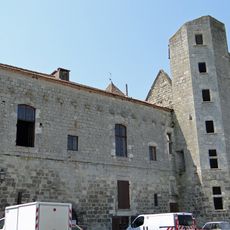
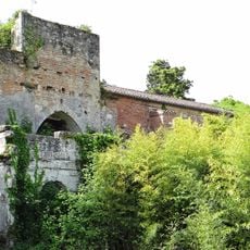
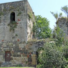
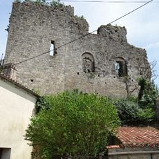
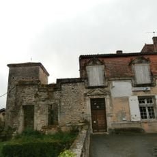
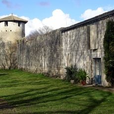
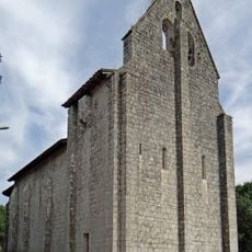
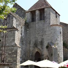
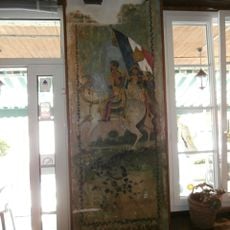
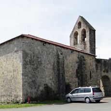
The historical roots of Feugarolles trace back several centuries with evidence of traditional rural settlements that have persisted through various periods of regional development in medieval France.

The community of Feugarolles hosts regional festivals celebrating local produce, folk music, and craft traditions that foster a strong sense of community among the village residents.

The town hall of Feugarolles, located at 555 rue Gérard-Duvergé, provides essential administrative services to residents from Monday to Tuesday and Friday mornings with information available on their official website.

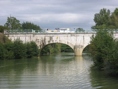
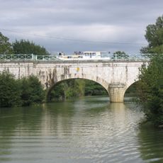
The Baise canal bridge photographed by Wolfgang Bauer illustrates the historic waterways that facilitated transportation and trade, significantly impacting the regional economic development of this commune.

The community of curious travelers

AroundUs brings together thousands of curated places, local tips, and hidden gems, enriched daily by 60,000 contributors worldwide.

Start exploring
Location
Elevation above the sea
66 m
Shares border with
Saint-Laurent, Nérac, Bruch, Espiens, Lavardac, Port-Sainte-Marie, Thouars-sur-Garonne, Vianne
Address
Le Bourg, 47230 Feugarolles
Phone
GPS coordinates
44.22111,0.34694
Latest update
July 30, 2025 08:21
« Feugarolles - Rural commune in Lot-et-Garonne, France » is provided by Around Us (aroundus.com). Images and texts are derived from Wikimedia project under a Creative Commons license. You are allowed to copy, distribute, and modify copies of this page, under the conditions set by the license, as long as this note is clearly visible.

Discover hidden gems everywhere you go!

From secret cafés to breathtaking viewpoints, skip the crowded tourist spots and find places that match your style. Our app makes it easy with voice search, smart filtering, route optimization, and insider tips from travelers worldwide. Download now for the complete mobile experience.

Around Us App Screenshot

A unique approach to discovering new places

Le Figaro

All the places worth exploring

France Info

A tailor-made excursion in just a few clicks

20 Minutes

Around Us
Travel Guide & Maps
Download

Send to your phone

QR Code
1

Open the camera app on your mobile.

2

Point at the QR code with your camera. A notification will appear.

3

Tap the notification to open the link.