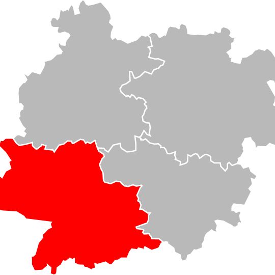
Arrondissement of Nérac, arrondissement of France
The community of curious travelers
AroundUs brings together thousands of curated places, local tips, and hidden gems, enriched daily by 60,000 contributors worldwide.

Walibi Sud-Ouest
20.3 km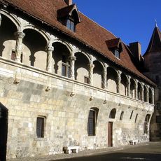
Château de Nérac
575 m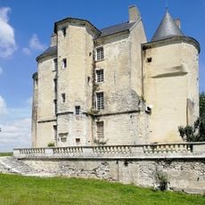
Château de Buzet-sur-Baïse
13.4 km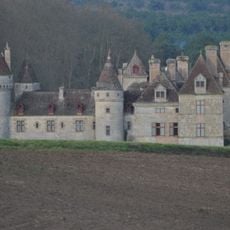
Château du Sendat
23.7 km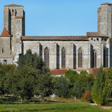
Collégiale Saint-Pierre, La Romieu
21.5 km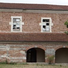
Abbaye de Clairac
25.3 km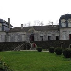
Château de Trenqueléon
8.5 km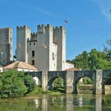
Moulin d'Henry IV
5.4 km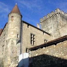
Château de Xaintrailles
10.3 km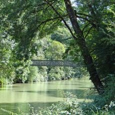
Parc de la Garenne
670 m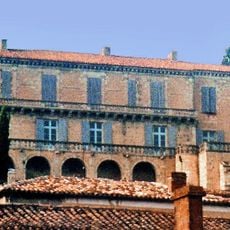
Château de Poudenas
13.8 km
Castle of Aiguillon
18.8 km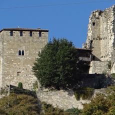
Château de Madaillan
23.7 km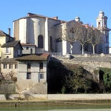
Église Saint-Nicolas de Nérac
624 m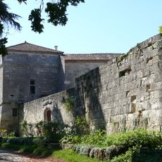
Château d'Estillac
18.5 km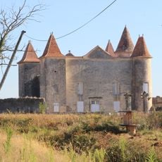
Château de Caumale
29.2 km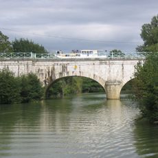
Pont-canal sur la Baïse
11.3 km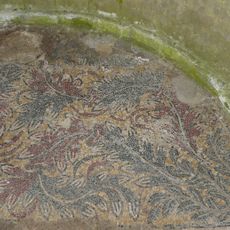
Ruines romaines de Nérac
678 m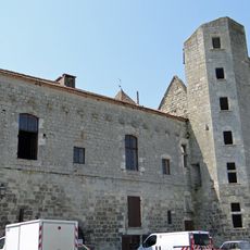
Château de Bazens
16.2 km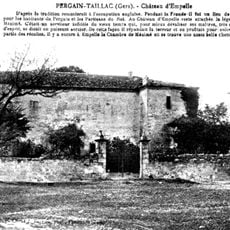
Ampelle Castle
20.5 km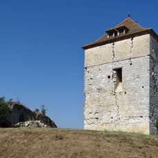
Château de Roquefort
18.3 km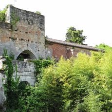
Prieuré du Paravis
12.5 km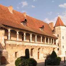
Château-musée Henri IV
590 m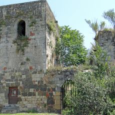
Château de Clermont-Dessous
14.4 kmPile gallo-romaine de Saint-Pierre-de-Buzet
15.3 km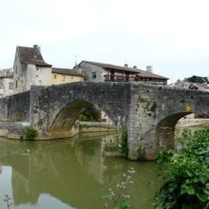
Vieux pont sur la Baïse
774 m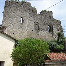
Château de Mongaillard
8.9 km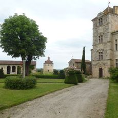
Château de Fréchou
5.4 kmDiscover hidden gems everywhere you go!
From secret cafés to breathtaking viewpoints, skip the crowded tourist spots and find places that match your style. Our app makes it easy with voice search, smart filtering, route optimization, and insider tips from travelers worldwide. Download now for the complete mobile experience.

A unique approach to discovering new places❞
— Le Figaro
All the places worth exploring❞
— France Info
A tailor-made excursion in just a few clicks❞
— 20 Minutes
