
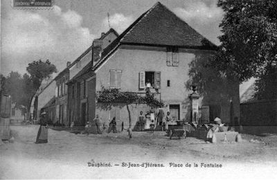
Saint-Jean-d'Hérans, commune in Isère, France
Location: canton of Mens
Location: Isère
Location: arrondissement of Grenoble
Industry: administration publique générale
Shares border with: Saint-Pierre-de-Méaroz, Saint-Sébastien, Cognet, Cornillon-en-Trièves, Mayres-Savel, Mens, Ponsonnas, Saint-Arey
Phone: +33476349835
Email: st.jean.dherans@orange.fr
Website: https://saintjeandherans.fr
GPS coordinates: 44.85333,5.76083
Latest update: March 11, 2025 14:02
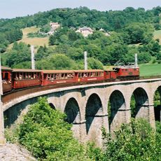
Chemin de Fer de La Mure
6.8 km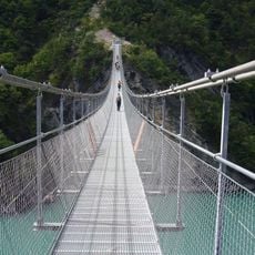
Drac Suspension Bridge
4.3 km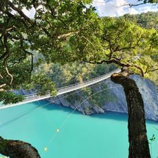
Ébron Suspension Bridge
6.9 km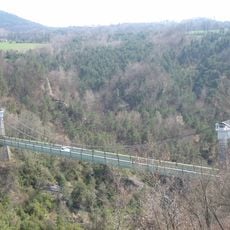
Pont de Brion
7.3 km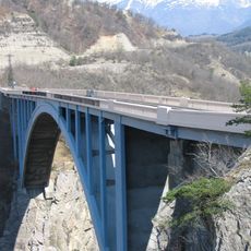
Pont de Ponsonnas
4.1 km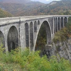
Viaduc de la Roizonne
8.6 km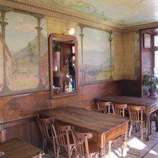
Café des Arts
4 km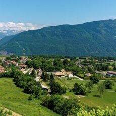
Sénépy
6.9 km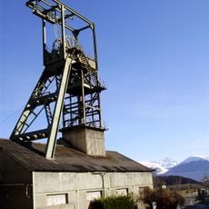
Puits de Rioux
4.8 km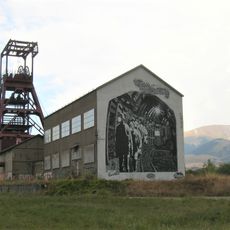
Puits du Villaret
8 km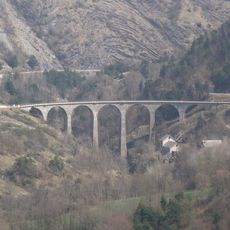
Viaduc de la Bonne
9 km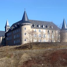
Château de Beaumont
5.9 km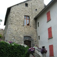
Musée Matheysin
6 km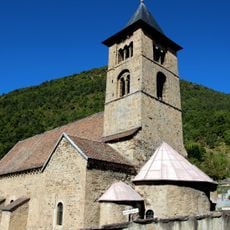
Église Saint-Jean-Baptiste de Mayres
3.8 km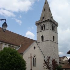
Église de l'Assomption de Mens
3.9 km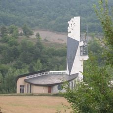
Église Notre-Dame-de-l'Assomption de La Salle-en-Beaumont
8.2 km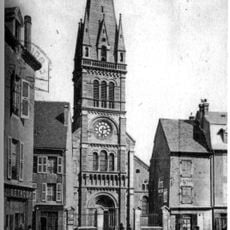
Église de l'Assomption de La Mure
6.2 km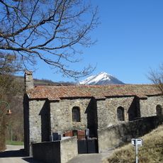
Église Saint-Laurent de Cognet
3.1 km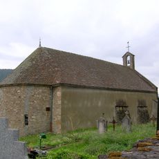
Église Saint-Jacques-et-Saint-Philippe de Saint-Arey
2.9 km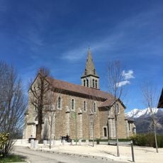
Église Saint-Martin de Cordéac
7 km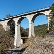
Parassat bridge
7.9 km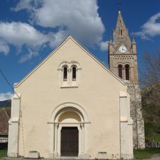
Église Saint-Baudille de Saint-Baudille-et-Pipet
7.7 km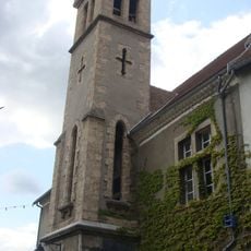
Protestant church in Mens
4 km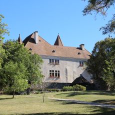
Château de Montmeilleur
6.9 km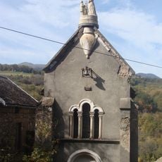
Chapelle Notre-Dame-de-la-Salette de Charlaix
6.5 km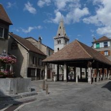
Market hall in Mens
4 km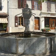
Fontaine de la Place de la Halle
4 km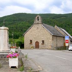
Chapelle Notre-Dame de Prunières
4.4 kmVisited this place? Tap the stars to rate it and share your experience / photos with the community! Try now! You can cancel it anytime.
Discover hidden gems everywhere you go!
From secret cafés to breathtaking viewpoints, skip the crowded tourist spots and find places that match your style. Our app makes it easy with voice search, smart filtering, route optimization, and insider tips from travelers worldwide. Download now for the complete mobile experience.

A unique approach to discovering new places❞
— Le Figaro
All the places worth exploring❞
— France Info
A tailor-made excursion in just a few clicks❞
— 20 Minutes