
Saint-Germier, commune in Deux-Sèvres, France
Location: canton of Ménigoute
Location: Deux-Sèvres
Location: arrondissement of Parthenay
Industry: administration publique générale
Shares border with: Fomperron, Ménigoute, Pamproux, Soudan, Rouillé, Sanxay
Phone: +33549690182
Email: saintgermier.mairie@orange.fr
Website: http://saintgermier79.com
GPS coordinates: 46.46139,-0.03917
Latest update: April 26, 2025 02:40
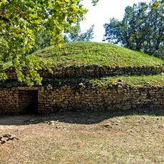
Tumulus of Bougon
10 km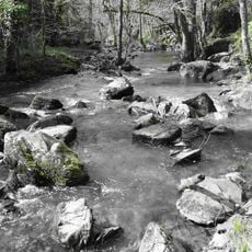
Puits d'Enfer
11.6 km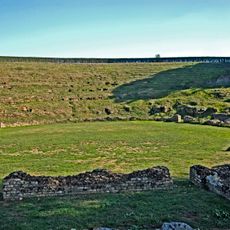
Ancient Roman sites in Sanxay
4 km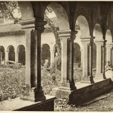
Les Châtelliers
7.8 km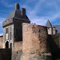
Château de Marconnay
6.6 km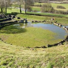
Gallo-Roman theatre of Sanxay
4 km
Château de Curzay
7.2 km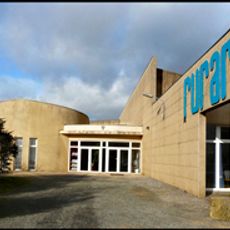
Rurart
10.7 km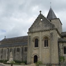
Église Saint-Jean-Baptiste de Jazeneuil
8.4 km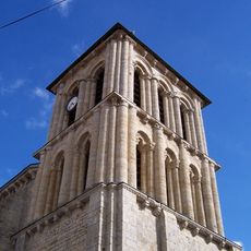
Église Saint-Maixent de Pamproux
7.5 km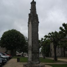
Croix hosannière de Ménigoute
4.2 km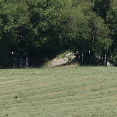
Dolmen de la Croisonnière
11.3 km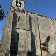
Église Saint-Pierre de Sanxay
4.4 km
Église Saint-Matthieu de Nesde
10.3 km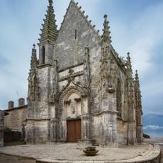
Chapelle Jean-Boucard, Ménigoute
4.2 km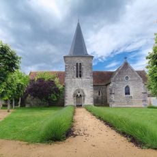
Église Saint-Martin de Curzay-sur-Vonne
7.1 km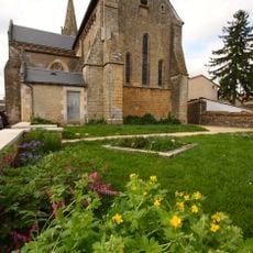
Église Saint-Hilaire de Rouillé
7.7 km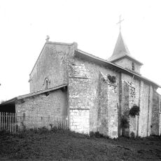
Église Notre-Dame de Soudan
7.2 km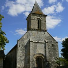
Église Saint-Pierre de Bougon
10.5 km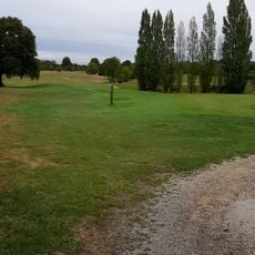
Golf des Forges
8.8 km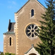
Temple de Rouillé
7.7 km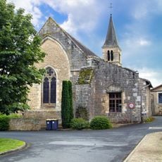
Église St-Jean-Baptiste
4.2 km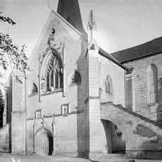
Église Notre-Dame de Nanteuil
11.7 km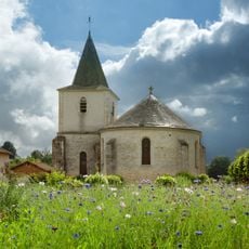
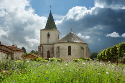
Église Saint-Germier de Saint-Germier
0 m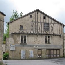
Maison, Rue Pictave, Jazeneuil
8.4 km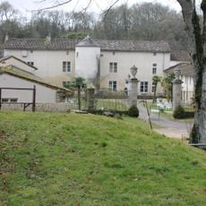
Château de la Cour, Jazeneuil
8.6 km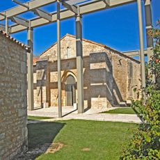
Chapelle de Vaugenerault
9.6 km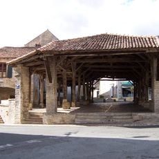
Halle de Pamproux
7.5 kmVisited this place? Tap the stars to rate it and share your experience / photos with the community! Try now! You can cancel it anytime.
Discover hidden gems everywhere you go!
From secret cafés to breathtaking viewpoints, skip the crowded tourist spots and find places that match your style. Our app makes it easy with voice search, smart filtering, route optimization, and insider tips from travelers worldwide. Download now for the complete mobile experience.

A unique approach to discovering new places❞
— Le Figaro
All the places worth exploring❞
— France Info
A tailor-made excursion in just a few clicks❞
— 20 Minutes