Enable Location

We need your location to show you interesting places around you

Discover nearby places

Find interesting locations and hidden gems around you

Precise directions

Get accurate directions and distances to places

Your location is never shared with other users. It's only used when you tap the location button.

Saint-Lary

Log in to your account

Start exploring — it's free

Trusted by 61,948 travelers worldwide

Continue with Google
Continue with Apple
or

We will send you a code to connect

By continuing, you accept our Terms and Conditions and our Privacy Policy

Check your inbox

We've sent a pincode in your inbox. Please enter the code below.

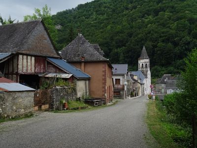
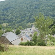
Saint-Lary, Mountain commune in Ariège, France

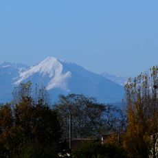
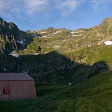
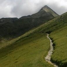
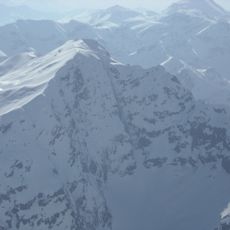
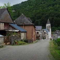
Saint-Lary covers 33.91 square kilometers in the Ariège department, reaching 2,210 meters elevation at Pic de la Calabasse peak with diverse mountain landscapes and numerous scattered hamlets throughout its territory.

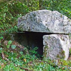
The commune historically belongs to the Couserans region and was situated on the ancient salt route, experiencing mining activity in the early 20th century with silver-bearing and lead ore extraction.

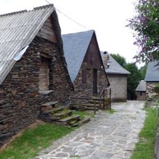
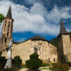
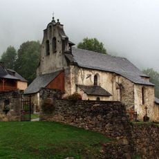
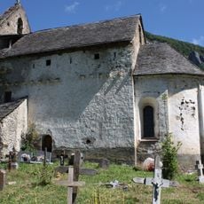
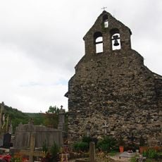
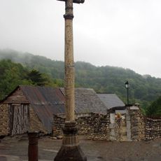
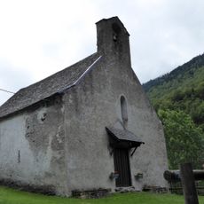
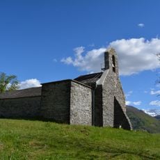
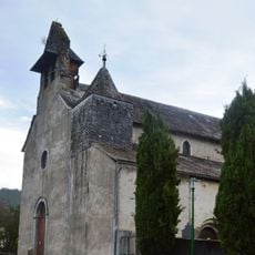
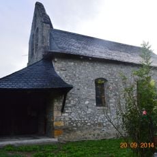
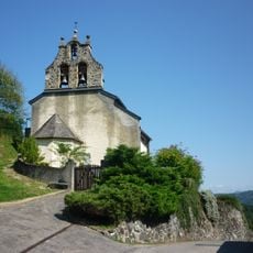
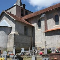
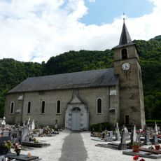
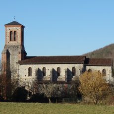
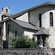
Saint-Lary preserves its Romanesque Saint-Hilaire church and maintains Gascon traditions of the region, reflecting Pyrenean cultural identity through its architectural heritage and local festivals.

The commune is led by Mayor Gérard Dubuc since 2020 and belongs to the Couserans-Pyrénées community of communes, facilitating access to regional administrative and tourist services.

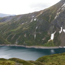
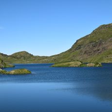
Saint-Lary contains the source of the Bouigane river that flows over 24 kilometers and is part of the Pyrénées ariégeoises Regional Natural Park created in 2009.

The community of curious travelers

AroundUs brings together thousands of curated places, local tips, and hidden gems, enriched daily by 60,000 contributors worldwide.

Start exploring
Location
Elevation above the sea
1,260 m
Shares border with
Antras, Augirein, Galey, Boutx, Melles, Portet-d'Aspet
Address
09800 Saint-Lary, France
Phone
GPS coordinates
42.92917,0.89444
Latest update
July 14, 2025 08:50
« Saint-Lary - Mountain commune in Ariège, France » is provided by Around Us (aroundus.com). Images and texts are derived from Wikimedia project under a Creative Commons license. You are allowed to copy, distribute, and modify copies of this page, under the conditions set by the license, as long as this note is clearly visible.

Discover hidden gems everywhere you go!

From secret cafés to breathtaking viewpoints, skip the crowded tourist spots and find places that match your style. Our app makes it easy with voice search, smart filtering, route optimization, and insider tips from travelers worldwide. Download now for the complete mobile experience.

Around Us App Screenshot

A unique approach to discovering new places

Le Figaro

All the places worth exploring

France Info

A tailor-made excursion in just a few clicks

20 Minutes

Around Us
Travel Guide & Maps
Download

Send to your phone

QR Code
1

Open the camera app on your mobile.

2

Point at the QR code with your camera. A notification will appear.

3

Tap the notification to open the link.