
Seur, commune in Loir-et-Cher, France
Location: canton of Contres
Location: Loir-et-Cher
Location: arrondissement of Blois
Elevation above the sea: 87 m
Shares border with: Cellettes, Chailles, Chitenay, Les Montils, Le Controis-en-Sologne
Phone: +33254440528
Email: mairie.seur@orange.fr
Website: http://seur41.eu
GPS coordinates: 47.50278,1.33389
Latest update: May 26, 2025 22:02
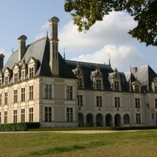
Château de Beauregard, Loire Valley
5.3 km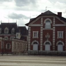
Chocolaterie Poulain in Blois
9 km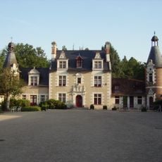
Château de Troussay
6.9 km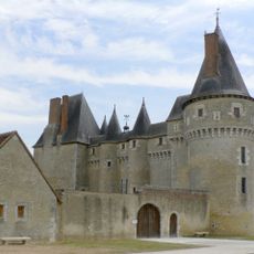
Château de Fougères-sur-Bièvre
6.2 km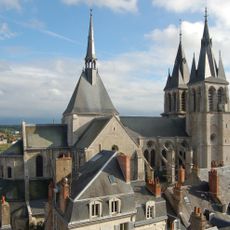
Saint Nicholas Church
9.1 km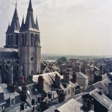
Saint Laumer Abbey of Blois
9 km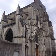
Blois-Vienne Church
8.8 km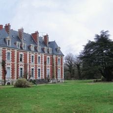
Tempel La Gendronniere
6.5 km
Saint Saturnin's Churchyard
8.8 km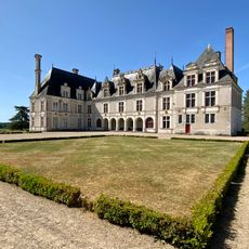
Château de Beauregard
5.4 km
Château de Madon
3.7 km
Château de Chitenay
3.4 km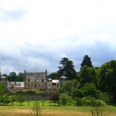
Château de la Pigeonnière
4.1 km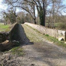
Ponts Chartrains
7.3 km
Château de la Rozelle
4.6 km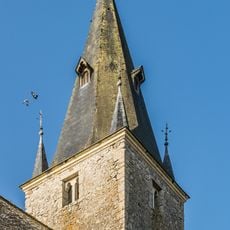
Saint Peter church of Ouchamps
3.9 km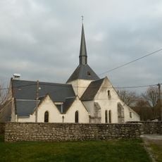
Église Saint-Gervais de Saint-Gervais-la-Forêt
7.7 km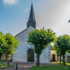
Saint Martin church of Monthou-sur-Bièvre
4.1 km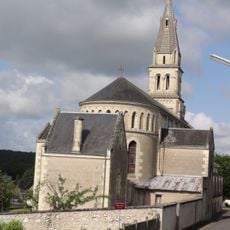
Église Saint-Bienheuré de Candé-sur-Beuvron
5.6 km
Église Notre-Dame de Cormeray
5.7 km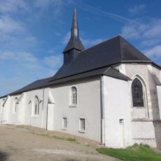
Église Saint-Martin de Chailles
4.6 km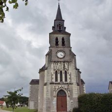
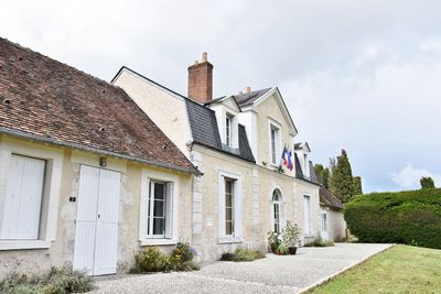
Église Saint-Pantaléon de Seur
90 m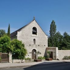
Église Notre-Dame de Valaire
6.1 km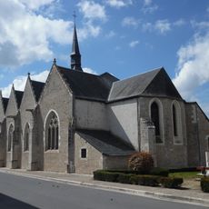
Église Saint-Denis de Chitenay
2.9 km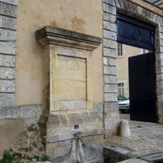
Fontaine Saint-Nicolas de Blois
9 km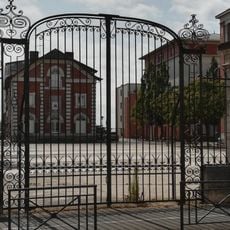
Portail de la Chocolaterie
9.1 km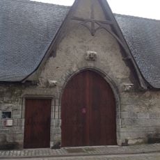
Cloître Saint-Saturnin de Blois
8.8 km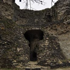
Tour des Montils
2.9 kmVisited this place? Tap the stars to rate it and share your experience / photos with the community! Try now! You can cancel it anytime.
Discover hidden gems everywhere you go!
From secret cafés to breathtaking viewpoints, skip the crowded tourist spots and find places that match your style. Our app makes it easy with voice search, smart filtering, route optimization, and insider tips from travelers worldwide. Download now for the complete mobile experience.

A unique approach to discovering new places❞
— Le Figaro
All the places worth exploring❞
— France Info
A tailor-made excursion in just a few clicks❞
— 20 Minutes