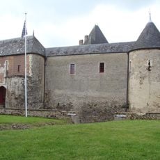
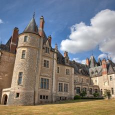
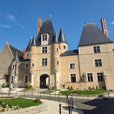
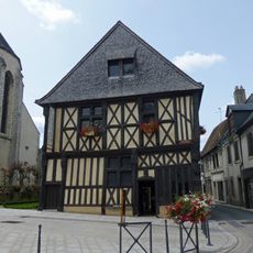
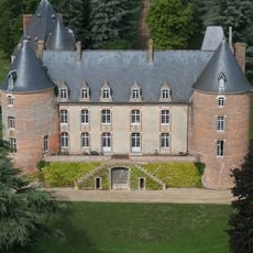
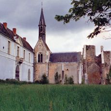
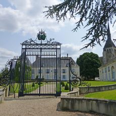
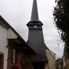
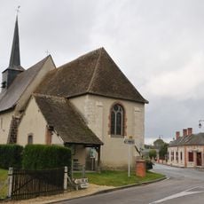
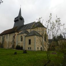
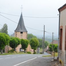
Ennordres, Rural commune in Cher department, France
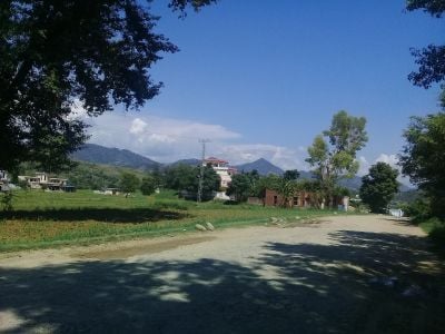
Ennordres is a small commune in the Cher department situated within the Sauldre et Sologne territory. The landscape consists mainly of farmland and forests that roll across the valley of the Petite Sauldre river.
Ennordres developed as a rural administrative unit within the Cher department over the course of several centuries. The commune remained centered on agricultural activity and forest management throughout its development.
The administrative structure of Ennordres reflects French municipal organization, with a mayor elected for six-year terms managing local affairs and development.
The village connects to nearby towns through routes D171, D30, and D181, making it easy to reach regional markets and services in surrounding areas. Visitors should be prepared for typical rural conditions with limited amenities and slower travel between destinations.
The terrain rises and falls between 154 and 293 meters in elevation, creating varied topography across the otherwise flat Sologne region. These height changes shape how the land is used and how the landscape appears in different parts of the area.
Location: canton of La Chapelle-d'Angillon
Location: Cher
Location: arrondissement of Vierzon
Industry: administration publique générale
Shares border with: Aubigny-sur-Nère, La Chapelle-d'Angillon, Ivoy-le-Pré, Ménétréol-sur-Sauldre, Oizon, Presly, Sainte-Montaine
Address: 18380 Ennordres, France
Phone: +33248580682
Email: mairie-ennordres@orange.fr
Website: http://ennordres.fr
GPS coordinates: 47.43000,2.38333
Latest update: December 14, 2025 11:23
Château de Béthune
8.6 km
Château de la Verrerie
10.5 km
Château des Stuarts
7.9 km
Maison dite de François Ier
7.7 km
Château de Blancafort
16 km
Abbaye de Loroy
12.6 km
Château de Saint-Maur
15.4 km
Église Saint-Martin d'Aubigny-sur-Nère
7.7 km
Église Saint-André d'Argent-sur-Sauldre
15.3 km
Église Notre-Dame d'Achères
17.5 km
Église Saint-Martin d'Ennordres
80 m
Église Saint-André de Blancafort
15.9 km
Église Saint-Georges de Villegenon
16.7 km
Église Sainte-Montaine de Sainte-Montaine
8.2 km
Église Saint-Pierre de Concressault
16 km
Église Saint-Pierre de Dampierre-en-Crot
15.5 km
Maison de Jeanne d'Arc
7.7 km
Église Saint-Jacques de La Chapelle-d'Angillon
8.4 km
Église Saint-Martin de Ménétréol-sur-Sauldre
6 km
Maison du Bailli
7.7 km
Maison de Sully
17.5 km
Enceinte d'Aubigny-sur-Nère
7.9 km
Hôtel du 14 rue Cambournac
7.9 km
Maison des Dames
7.7 km
Maison de Saint-Jean
7.7 km
Maison, rue du Bourg-Coutant
7.7 km
Maison Bourdoiseau
7.6 km
Maison, rue de l'Église, rue Pousse-Panier
7.6 kmVisited this place? Tap the stars to rate it and share your experience / photos with the community! Try now! You can cancel it anytime.
Discover hidden gems everywhere you go!
From secret cafés to breathtaking viewpoints, skip the crowded tourist spots and find places that match your style. Our app makes it easy with voice search, smart filtering, route optimization, and insider tips from travelers worldwide. Download now for the complete mobile experience.
A unique approach to discovering new places❞
— Le Figaro
All the places worth exploring❞
— France Info
A tailor-made excursion in just a few clicks❞
— 20 Minutes