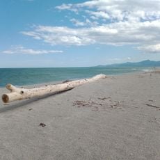
Têt, Mediterranean river in Pyrénées-Orientales, France.
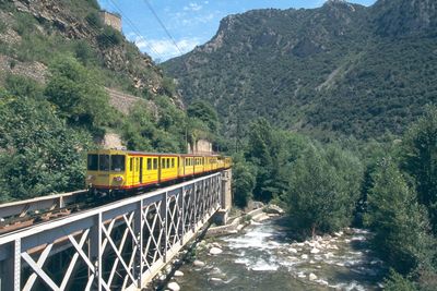
The Têt is a river flowing from the high Pyrenees down to the Mediterranean coast, dropping in elevation as it travels through mountain and valley. Its course runs through eastern Pyrenean terrain before emptying into the sea near Perpignan.
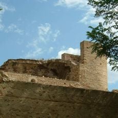
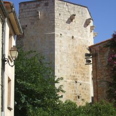
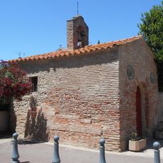
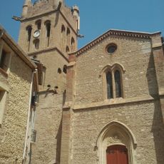
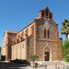
The river shaped where people chose to build communities, with settlements like Mont-Louis and Villefranche-de-Conflent emerging along its banks. These locations offered advantages for mills, crafts, and reliable water supply that early inhabitants needed to survive.
Towns scattered along the Têt maintain age-old customs of sharing water resources among farmers and residents. These practices show how communities have worked together for hundreds of years to manage the river's flow for crops and homes.
Walking paths and viewing spots run along much of the river's length, especially in the sections closer to Perpignan and around Prades. Exploring on foot lets you move at your own pace and discover the different landscapes and villages throughout.
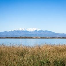
Water from the river starts at about 2400 meters elevation high in the mountains and flows all the way down to sea level. This dramatic height change creates completely different ecosystems and climates you can witness as you move along the water.
The community of curious travelers
AroundUs brings together thousands of curated places, local tips, and hidden gems, enriched daily by 60,000 contributors worldwide.