
Canton of Pléneuf-Val-André, canton of France
Location: Côtes-d'Armor
Inception: March 22, 2015
Capital city: Pléneuf-Val-André
GPS coordinates: 48.59083,-2.54806
Latest update: March 3, 2025 15:55
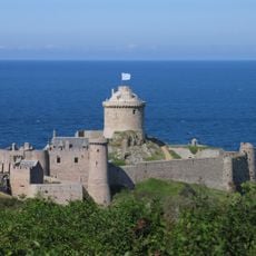
Fort-la-Latte
21.2 km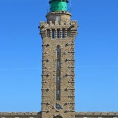
Cap Fréhel lighthouse
19.8 km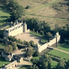
Bienassis Castle
4.5 km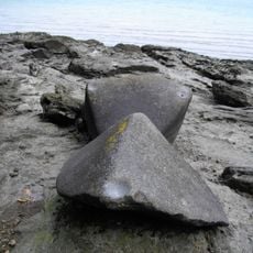
Les pierres sonnantes
24.9 km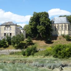
Château de l'Argentaye
24.6 km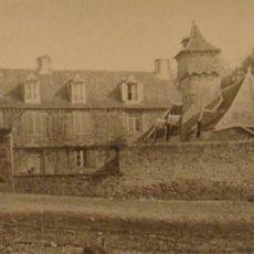
Château de La Guyomarais
15.1 km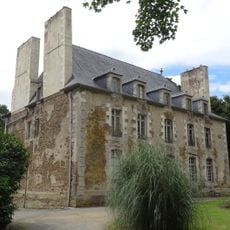
Château de Monchoix
22.5 km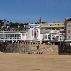
Casino du Val-André
362 m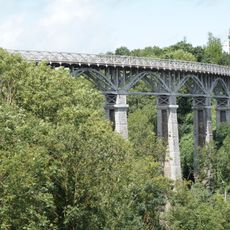
Viaduc des Ponts-Neufs
10.5 km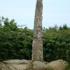
Doigt de Gargantua
20.8 km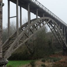
Viaduc de Caroual
6.6 km
Tour de Montbran
14 km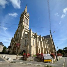
Église Saint-Cast de Saint-Cast-le-Guildo
21.4 km
Église Saint-Gobrien de Morieux
8.8 km
Église Notre-Dame de Nazareth
25.3 km
Saint-Cast-le-Guildo lighthouse
23.1 km
Chapelle Sainte-Blanche de Saint-Cast-le-Guildo
22.1 km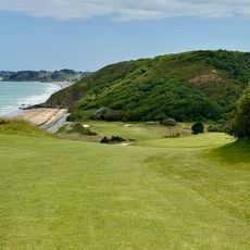
Golf Blue Green de Pléneuf Val André
1.1 km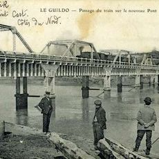
Pont du Guildo
24.6 km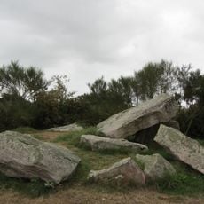
Dolmen de la Ville Hamon
8.9 km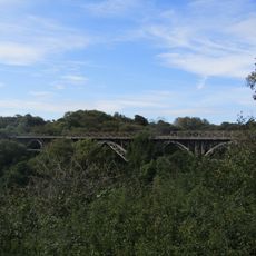
Viaduc de Port-Nieux
16.8 km
Manoir de la Chesnaye-Taniot
18.8 km
Manoir de la Vigne
18.4 km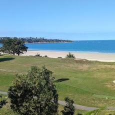
Golf de Saint-Cast Pen Guen
22.9 km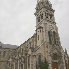
Église Saint-Sauveur de Plancoët
24.4 km
Pigeonnier de Vaujoyeux
7 km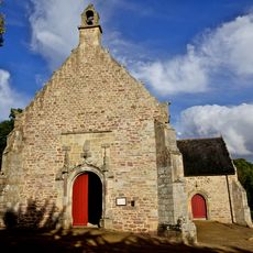
Chapelle Saint-Sébastien de Pléhérel
13.8 km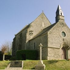
Chapelle Notre-Dame de Hirel
15.7 kmReviews
Visited this place? Tap the stars to rate it and share your experience / photos with the community! Try now! You can cancel it anytime.
Discover hidden gems everywhere you go!
From secret cafés to breathtaking viewpoints, skip the crowded tourist spots and find places that match your style. Our app makes it easy with voice search, smart filtering, route optimization, and insider tips from travelers worldwide. Download now for the complete mobile experience.

A unique approach to discovering new places❞
— Le Figaro
All the places worth exploring❞
— France Info
A tailor-made excursion in just a few clicks❞
— 20 Minutes