Grand Som, Limestone mountain in Chartreuse Mountains, France
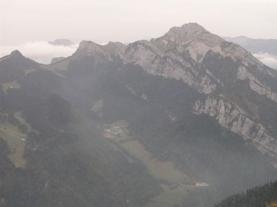
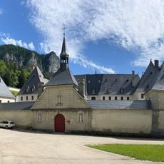
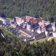
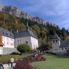
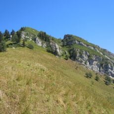
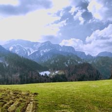
Grand Som is a limestone summit of the Chartreuse Mountains in Isère, built of two Urgonian rock bars. Its long, unevenly sharp ridge rises above the Petit Som (1,772 m), the Col de la Ruchère to the northwest and the Grande Chartreuse monastery, which sits below a staircase of cliffs. The bare grey upper faces are cut by gullies and vertical fissures, with forested slopes and a clearing with low buildings beneath.
The massif's underground network was explored from July 1966, when the caving club of La Tronche (FLT) discovered the puits Francis, also called réseau de Bovinant. On 23 August 1967 cavers reached the siphon at −688 m; the network totals 723 m of depth for 6,836 m of development. Upper entrances were found later. Other shafts on the massif include the gouffre des Aures (−512 m).
The summit carries a cross and two relief tables, the orientation aids found at the top of the Grand Som. The cross stands above the cliffs that drop toward the Grande Chartreuse monastery, which lies below the mountain's face.
Multiple marked hiking trails reach the summit, with varying difficulty levels depending on which route you choose. Good hiking boots and a map are recommended since the terrain is rocky and sometimes steep.
The massif's most important cave network is the puits Francis, also called réseau de Bovinant, with 723 m of vertical drop over 6,836 m of passages. The La Tronche caving club (FLT) discovered it in July 1966 and reached the siphon at −688 m on 23 August 1967; upper entrances were found later.
The community of curious travelers
AroundUs brings together thousands of curated places, local tips, and hidden gems, enriched daily by 93,913 contributors worldwide.