La Scia, Mountain peak in Saint-Pierre-de-Chartreuse, France.
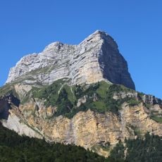
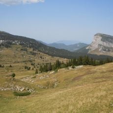
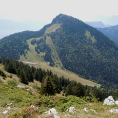
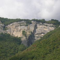
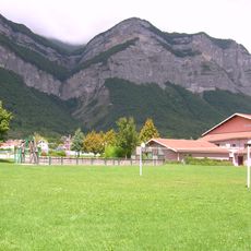
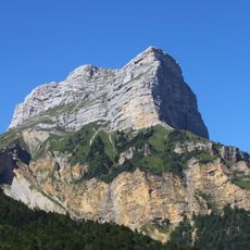
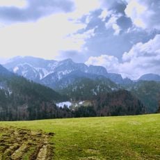
La Scia is a summit in the Chartreuse massif on the commune of Saint-Pierre-de-Chartreuse, in Isère. Its broad, sloping base is covered in dry yellowish-green grass with sparse low vegetation; higher up, light gray rock faces and crags emerge, with dark green trees and shrubs clustered along the ridge. The peak belongs to the Perquelin anticline and cuts the central Chartreuse depression in two.
La Scia lies on the anticlinal de Perquelin, a fold that splits the central depression of the Chartreuse massif in two. The summit stands within the commune of Saint-Pierre-de-Chartreuse in the Isère department. The sources record no boundary role or historical events for the peak itself.
La Scia lies on the commune of Saint-Pierre-de-Chartreuse, within the Chartreuse massif and its regional natural park. The peak sits on the Perquelin anticline and splits the massif's central depression in two, a geological arrangement walkers can read in the lay of the land around the summit.
La Scia lies on the commune of Saint-Pierre-de-Chartreuse, in the Isère department; the summit is reached on foot from the surrounding Chartreuse paths. The upper slope is grass and the top is gray rock, so plan for exposed ground near the ridge.
La Scia lies on the Perquelin anticline and splits the central Chartreuse depression in two, a geological detail visible in the light gray rock faces and crags of its upper slope. The summit stands on the territory of Saint-Pierre-de-Chartreuse in the Isère department.
The community of curious travelers
AroundUs brings together thousands of curated places, local tips, and hidden gems, enriched daily by 94,302 contributors worldwide.