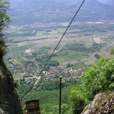
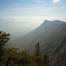
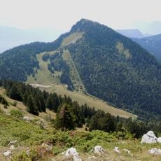
Roc d'Arguille, Mountain summit in Saint-Pierre-de-Chartreuse, France
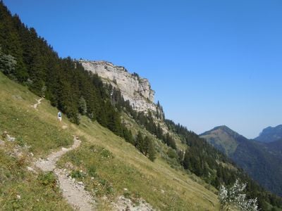
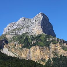
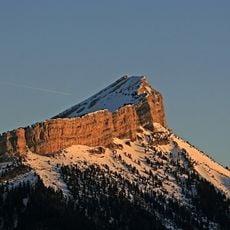
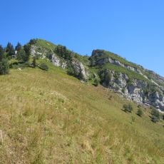
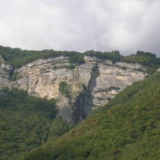
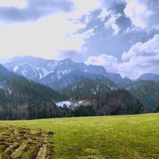
Roc d'Arguille is a limestone summit rising to 1768 meters (5801 feet) in Saint-Pierre-de-Chartreuse with distinct rock formations. It connects to Mont Pravouta through the Pravouta pass at 1690 meters (5545 feet) and forms part of a pronounced anticlinal structure.
The summit formed roughly 150 million years ago during the Jurassic period through thick limestone deposits and mountain building. The distinctive folding visible today reflects the intense geological forces that shaped this region.
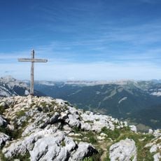
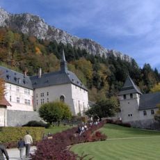
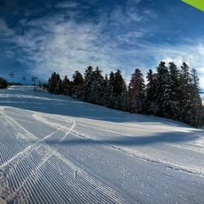
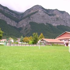
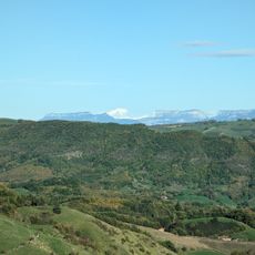
The summit sits within the Chartreuse Regional Nature Park, where the landscape reflects both traditional land use and modern conservation efforts. Visitors experience an area shaped by human activity across generations while protecting vulnerable plant communities.
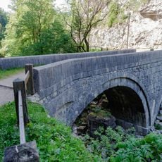
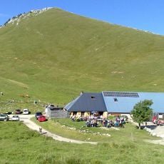
Multiple trails lead to the summit from Col du Coq or Habert de Pravouta, with walking time typically between one and two hours depending on the route chosen. Both access points offer different views and allow visitors to plan loops or varied routes through the area.
The northern slope contains a protected ecological zone with rare orchids like the Venus Lady's Slipper and Monkshood species. This botanical diversity makes it a focus for plant enthusiasts and nature photographers visiting the area.
The community of curious travelers
AroundUs brings together thousands of curated places, local tips, and hidden gems, enriched daily by 60,000 contributors worldwide.