Enable Location

We need your location to show you interesting places around you

Discover nearby places

Find interesting locations and hidden gems around you

Precise directions

Get accurate directions and distances to places

Your location is never shared with other users. It's only used when you tap the location button.

Cime de Peïra-Cava

Log in to your account

Start exploring — it's free

Trusted by 61,909 travelers worldwide

Continue with Google
Continue with Apple
or

We will send you a code to connect

By continuing, you accept our Terms and Conditions and our Privacy Policy

Check your inbox

We've sent a pincode in your inbox. Please enter the code below.

Cime de Peïra-Cava

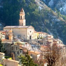
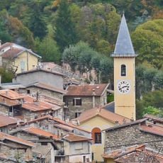
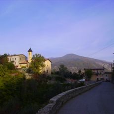
Cime de Peïra-Cava, Mountain summit in Alpes-Maritimes, France.

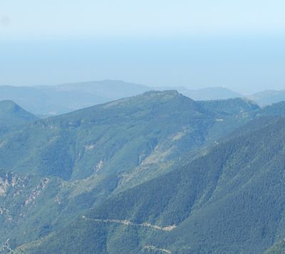
Cime de Peïra-Cava is a mountain summit in the Nice Prealps that reaches 1,581 meters and consists primarily of sandstone and limestone rock formations. The peak forms a distinct point within the ridge, with varying slopes and ridges that together create its recognizable shape.

The first ski ascent was accomplished in 1909 by Victor de Cessole, marking the beginning of winter sports in this region. This early expedition opened the route to further activity and made the mountain an attractive destination for winter sports enthusiasts.

The name comes from Nice dialect, where Peïra means stone and Cava means concave depression, reflecting how locals described the landscape. This linguistic detail shows the deep connection between the people and the mountain they knew so well.

The summit can be accessed via two main routes: along the mountain flank from a powder magazine at the village edge or via the Beccas trail. Visitors should prepare for varied terrain and bring appropriate gear depending on the season.

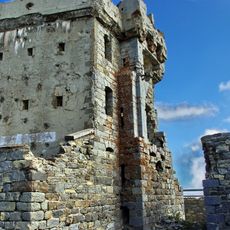
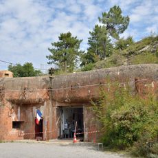
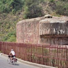
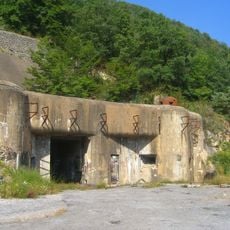
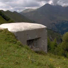
A chairlift was installed in 1963 connecting Peïra-Cava village to the summit, but it has long since stopped operating. Today, only remnants of this infrastructure remind visitors of the era when people could ride up the mountain.

The community of curious travelers

AroundUs brings together thousands of curated places, local tips, and hidden gems, enriched daily by 60,000 contributors worldwide.

Start exploring
Location
Elevation above the sea
1,581 m
Made from material
sandstone
GPS coordinates
43.93940,7.37000
Latest update
December 14, 2025 20:27
« Cime de Peïra-Cava - Mountain summit in Alpes-Maritimes, France » is provided by Around Us (aroundus.com). Images and texts are derived from Wikimedia project under a Creative Commons license. You are allowed to copy, distribute, and modify copies of this page, under the conditions set by the license, as long as this note is clearly visible.

Discover hidden gems everywhere you go!

From secret cafés to breathtaking viewpoints, skip the crowded tourist spots and find places that match your style. Our app makes it easy with voice search, smart filtering, route optimization, and insider tips from travelers worldwide. Download now for the complete mobile experience.

Around Us App Screenshot

A unique approach to discovering new places

Le Figaro

All the places worth exploring

France Info

A tailor-made excursion in just a few clicks

20 Minutes

Around Us
Travel Guide & Maps
Download

Send to your phone

QR Code
1

Open the camera app on your mobile.

2

Point at the QR code with your camera. A notification will appear.

3

Tap the notification to open the link.