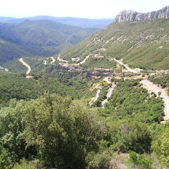
Col de l'Espigoulier, Mountain pass near Gémenos, France
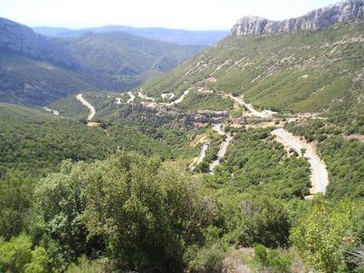
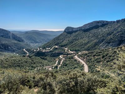
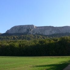
The Col de l'Espigoulier is a mountain pass near the Provençal town of Gémenos in southeastern France, sitting at around 2,375 feet (723 meters) above sea level. The road to the top follows a series of tight bends through rocky terrain on the edge of the Parc naturel régional de la Sainte-Baume.
The pass lies on the D2 road in the Sainte-Baume massif and has been climbed four times by the Tour de France, twice rated second category. It has also featured in Paris-Nice, where Matthew Holmes crossed it first on the sixth stage in 2022, and in the 2020 Tour de la Provence, when Jonas Koch led over the first-category climb. A key scene of Fantômas was filmed on its slope, with Fandor and his fiancée speeding downhill after Lady Beltham sabotaged the brakes.
The Col de l'Espigoulier is a regular training ground for cyclists from the Marseille area, and on weekends you will often find small groups gathered at the top to rest and talk. The pass has earned a quiet reputation among road cyclists in the south of France as a rewarding and accessible climb.
The pass is open year-round, though spring and fall offer the most comfortable conditions for outdoor activities. The road is narrow with many bends, so drivers should go slowly and watch out for cyclists and motorcyclists coming from the other direction.
Despite being only around 12 miles (20 kilometers) from Marseille, the top of the pass feels far removed from the coast, with a noticeably cooler and windier character. On a clear day, the sea is still visible from the summit, which is an unusual combination for a mountain pass at this elevation.
The community of curious travelers
AroundUs brings together thousands of curated places, local tips, and hidden gems, enriched daily by 92,669 contributors worldwide.