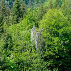
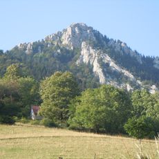
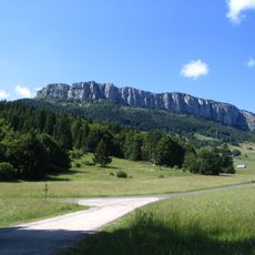
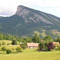
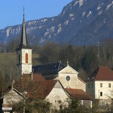
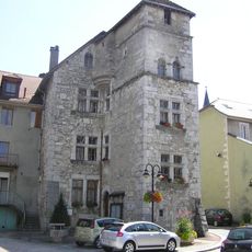
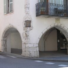
Col des Égaux, Mountain pass in Chartreuse Mountains, France.
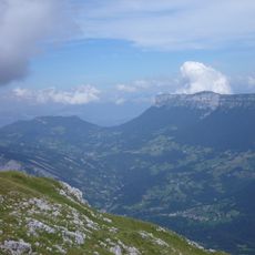
Col des Égaux is a mountain pass in the Chartreuse range situated at approximately 958 meters elevation, connecting two valleys on either side of the massif. The D45 road traverses this crossing point, serving as the main route between communities separated by the peaks above.
The pass lies in the territory of Corbel, in the southern Savoie department, and takes its name from the hamlet of Les Égaux nearby. The D45 road, marked by the black sign at 958 m, crosses it. The Hyères has its source at the pass, and La Cochette rises to the northeast, visible from the crossing.
The pass lies beside the hamlet of Égaux, in the commune of Corbel, and the Hyères river rises at the col itself. The D45 crosses it, marked by the black "Col des EGA" sign and the 50 km/h speed limit. From the crossing, La Cochette is visible to the northeast.
The D45 crosses the pass at 958 m, marked by a black sign and a 50 km/h speed limit on the roadside post. The road is narrow and winding, so drive slowly and watch for walkers and cyclists. The Hyères rises just by the pass, and La Cochette stands to the northeast.
The Hyères has its source at the pass itself, in the territory of Corbel, a commune in the southern Savoie department. From the crossing, the summit of La Cochette stands to the northeast. The signpost at the roadside gives the altitude as 958 metres and marks the road as the D 45.
The community of curious travelers
AroundUs brings together thousands of curated places, local tips, and hidden gems, enriched daily by 94,307 contributors worldwide.