Chest opened
+${chestReward.xp} XP
Explorer
NOUVEAU ×${chestReward.collectible.quantity}
tapez pour fermer
Chest locked

Open chests in the app

Around Us is built for your phone — chests unlock when you walk, explore and capture nearby places.

Enable Location

We need your location to show you interesting places around you

Discover nearby places

Find interesting locations and hidden gems around you

Precise directions

Get accurate directions and distances to places

Your location is never shared with other users. It's only used when you tap the location button.

Col du Perthus

Log in to your account

Start exploring — it's free

Trusted by 72,881 travelers worldwide

Continue with Google
Continue with Apple
or

We will send you a code to connect

By continuing, you accept our Terms and Conditions and our Privacy Policy

Check your inbox

We've sent a pincode in your inbox. Please enter the code below.

Col du Perthus
Discussion Reviews 1 Photos
8.9k Popularity

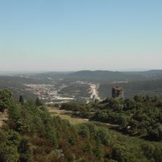
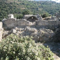
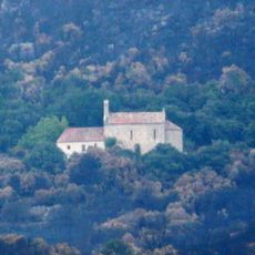
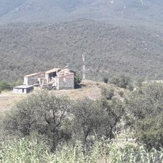
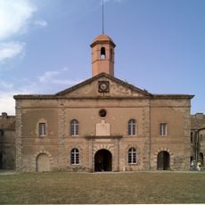
Col du Perthus, Mountain pass at French-Spanish border in Pyrenees mountains, France and Spain.

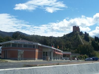
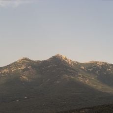
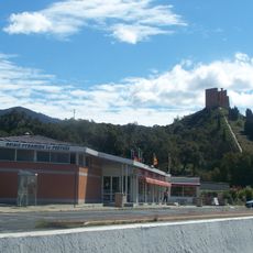
The Col du Perthus is a mountain pass in the Pyrenees at the French-Spanish border standing at about 290 meters in altitude. Major road routes, including the European E-15 highway, flow through this natural gateway connecting Catalan regions on both sides of the border.

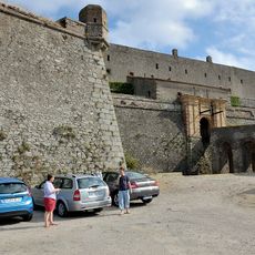
In 218 BC, Hannibal led his army through this mountain pass during the Second Punic War. This military crossing marked an important moment in Mediterranean military history.

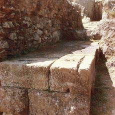
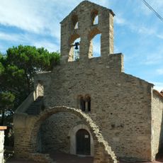
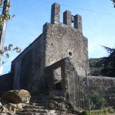
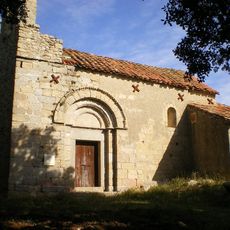
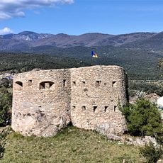
The name comes from the Latin word pertusus, meaning pierced, and two towns - Le Perthus in France and La Jonquera in Spain - sit on either side of this mountain saddle. These settlements shape the character of this everyday border crossing point.

The pass is open year-round and serves as a major traffic corridor between France and Spain with good signage throughout. Visitors should expect potential border delays, especially during peak travel times.

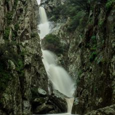
On the north side of the pass, water flows toward the Tec river basin, while southern waters drain into the Llobregat d'Empordà tributary system. This watershed demonstrates how the pass acts as a natural dividing line for the region's water systems.

The community of curious travelers

AroundUs brings together thousands of curated places, local tips, and hidden gems, enriched daily by 60,000 contributors worldwide.

Start exploring
Location
Location
Elevation above the sea
283.1 m
GPS coordinates
42.46446,2.86560
Latest update
December 10, 2025 16:00
Reviews
Share your experience

No review yet

Discussions
Start a discussion...

No discussion yet

« Col du Perthus - Mountain pass at French-Spanish border in Pyrenees mountains, France and Spain » is provided by Around Us (aroundus.com). Images and texts are derived from Wikimedia project under a Creative Commons license. You are allowed to copy, distribute, and modify copies of this page, under the conditions set by the license, as long as this note is clearly visible.

Discover hidden gems everywhere you go!

From secret cafés to breathtaking viewpoints, skip the crowded tourist spots and find places that match your style. Our app makes it easy with voice search, smart filtering, route optimization, and insider tips from travelers worldwide. Download now for the complete mobile experience.

Around Us App Screenshot

A unique approach to discovering new places

Le Figaro

All the places worth exploring

France Info

A tailor-made excursion in just a few clicks

20 Minutes

Around Us
Travel Guide & Maps
Download

Send to your phone

QR Code
1

Open the camera app on your mobile.

2

Point at the QR code with your camera. A notification will appear.

3

Tap the notification to open the link.