
Dunes de Plouhinec, aire protégée de France
Website: http://www.conservatoire-du-littoral.fr/front/process/Content6225.html?rub=8&rubec=347
Website: http://conservatoire-du-littoral.fr/front/process/Content6225.html?rub=8&rubec=347
GPS coordinates: 47.65830,-3.22694
Latest update: March 4, 2025 21:29
Nichtarguer
4.2 km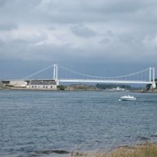
Pont Lorois
2.8 km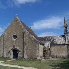
Chapelle Saint-Cado de Belz
4.5 km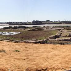
Villa gallo-romaine de Mané-Vechen
1.4 km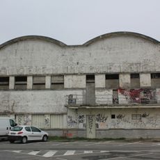
Glacière d'Étel
1.6 km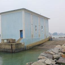
Etel lifeboat station
1.6 km
Oppidum de Mané-Coh-Castel
2.2 km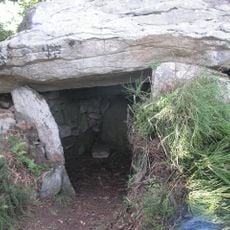
Dolmen de Kerlutu
3.9 km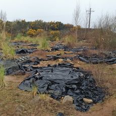
Alignement de Kerdruellan
3.1 km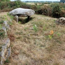
Tumulus de Run-er-Sinzen
3.7 km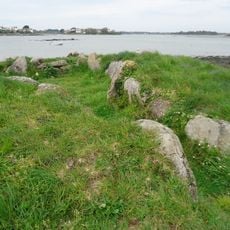
Dolmen du Moulin des Oies
4.4 km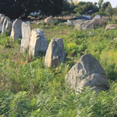
Alignements du Gueldro
3.8 km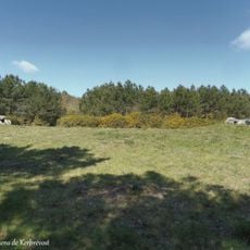
Dolmens de Kerprovost
3 km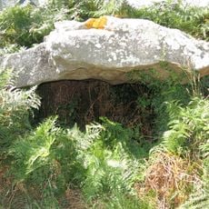
Dolmen de Kerangré
4.3 km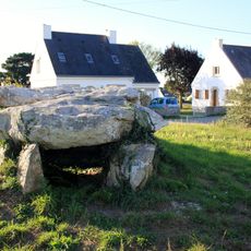
Dolmen de Kerguéran
3.8 km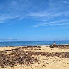
Plage naturiste de Kerminihy
3.9 km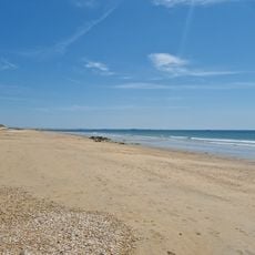
Plage de Kervégan
557 m
Plage d'Etel
1.8 km
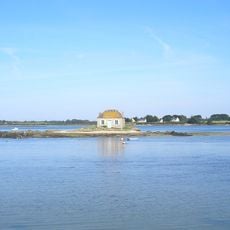
Nichtarguér's house
4.2 km
Plage de Kerminihy
3.6 km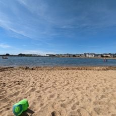
Plage des Enfants
1.8 km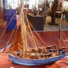
Musée des Thoniers
1.6 km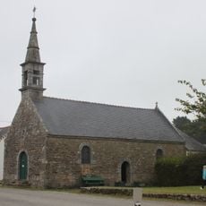
Chapelle Sainte-Anne de Belz
4.6 km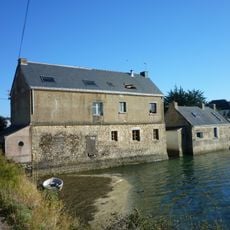
Le Sac'h tide mill
3 km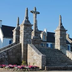
Calvaire de Saint Cado
4.5 km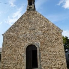
Chapelle des Sept-Saints d'Erdeven
3.9 km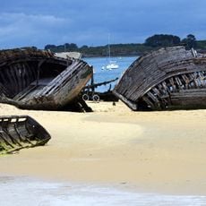
Magouër ship graveyard
1.2 km
Dolmen de Kergallan
3.8 kmReviews
Visited this place? Tap the stars to rate it and share your experience / photos with the community! Try now! You can cancel it anytime.
Discover hidden gems everywhere you go!
From secret cafés to breathtaking viewpoints, skip the crowded tourist spots and find places that match your style. Our app makes it easy with voice search, smart filtering, route optimization, and insider tips from travelers worldwide. Download now for the complete mobile experience.

A unique approach to discovering new places❞
— Le Figaro
All the places worth exploring❞
— France Info
A tailor-made excursion in just a few clicks❞
— 20 Minutes