Mont Colombis, Mountain peak in Hautes-Alpes, France
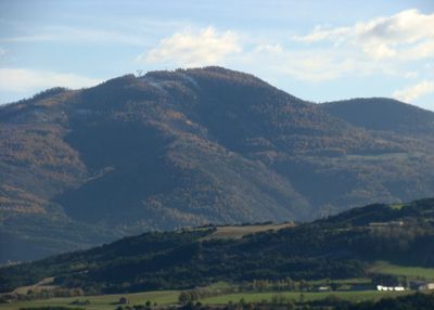
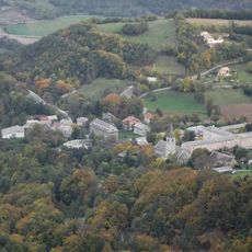
Mont Colombis is a mountain peak in the Hautes-Alpes that reaches 1,734 meters in elevation, featuring distinctive ascending plateaus that create an interesting contrast with the flatter Avance plain below. The terrain transitions through different landscape zones as one approaches the summit, with expanding views of the surrounding Alpine ridges.
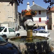
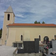
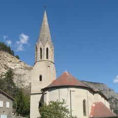
The mountain has served as a geographic boundary between multiple communes in the region, including Espinasses, Théus, Remollon, and Valserres. This border function continues to define administrative divisions in the area today.
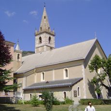
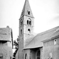
The summit contains orientation tables that help visitors identify the surrounding peaks while providing information about the local geography and natural environment.
The summit can be reached by car via roads from Théus or on foot using hiking trails from Chorges and Avançon. Visitors should prepare for Alpine weather conditions that change quickly and bring appropriate gear for mountain terrain.
At the summit sits the RHYTMME radar station operated by Météo France, which monitors storms and flood risks across the Southern Alps in real-time. This specialized equipment plays a key role in early warning systems that protect people throughout the region.
Location: Hautes-Alpes
Elevation above the sea: 1,734 m
GPS coordinates: 44.49583,6.21916
Latest update: December 14, 2025 17:02
Our Lady of Laus
6 km
Viaduc de Chanteloube
7.1 km
Marian apparitions of Notre-Dame du Laus
6.1 km
Barrage de Serre-Ponçon
4.9 km
Basilique Notre-Dame-du-Laus
6.1 km
Sanctuaire Notre-Dame du Laus
6.1 km
Apiland
3.1 km
Église Saint-Victor de Chorges
7 km
Fontaine de Chorges
7.1 km
Bench
4.6 km
Chapelle Notre-Dame-de-Pitié d'Avançon
4.2 km
La salle de bal des Demoiselles Coiffées de Théus
1.8 km
Église Saint-Pélade de Montgardin
6.3 km
Église Saint-Colomban de Piégut
8.7 km
Église Saint-Julien de Rochebrune
5.5 km
Église Saint-Pierre de Jarjayes
8.4 km
Église Saint-Nicolas-et-Sainte-Luce de Théus
3.2 km
Église de l'Assomption de Rousset
3 km
Chapelle des Chaussins
5.4 km
Ancienne église Saint-Pierre de Remollon
5.1 km
Église Notre-Dame-de-la-Consolation de La Bâtie-Neuve
8 km
Église Notre-Dame de la Colle du Sauze-du-Lac
7.8 km
Église d'Espinasses
3.2 km
Chapelle Saint-Pierre de Théus
2.9 km
Église Saint-Thomas-Saint-Restitut de Jarjayes
8.6 km
Chapelle Saint-Pancrace de la Bâtie-Neuve
8.3 km
Chapelle de Neyrac de Piégut
7.5 km
Chapelle Saint-Pierre de Jarjayes
8.4 kmVisited this place? Tap the stars to rate it and share your experience / photos with the community! Try now! You can cancel it anytime.
Discover hidden gems everywhere you go!
From secret cafés to breathtaking viewpoints, skip the crowded tourist spots and find places that match your style. Our app makes it easy with voice search, smart filtering, route optimization, and insider tips from travelers worldwide. Download now for the complete mobile experience.
A unique approach to discovering new places❞
— Le Figaro
All the places worth exploring❞
— France Info
A tailor-made excursion in just a few clicks❞
— 20 Minutes