Enable Location

We need your location to show you interesting places around you

Discover nearby places

Find interesting locations and hidden gems around you

Precise directions

Get accurate directions and distances to places

Your location is never shared with other users. It's only used when you tap the location button.

Mont Denise

Log in to your account

Start exploring — it's free

Trusted by 62,392 travelers worldwide

Continue with Google
Continue with Apple
or

We will send you a code to connect

By continuing, you accept our Terms and Conditions and our Privacy Policy

Check your inbox

We've sent a pincode in your inbox. Please enter the code below.

Mont Denise

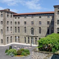
Mont Denise, Volcanic summit in Haute-Loire, France

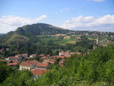
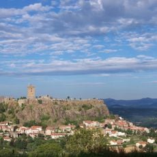
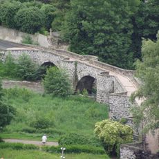
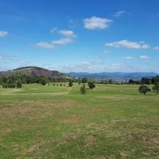
Mont Denise rises to 892 meters between Espaly-Saint-Marcel and Polignac, with distinctive basalt columns reaching about 20 meters high. The area mixes volcanic formations with meadows and forests crossed by maintained hiking trails.

In 1844, archaeological excavations on the southern slope uncovered human fossils later known as Denise Man. This discovery made the area important for understanding early human settlement in central France.

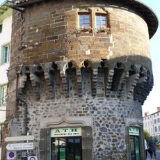
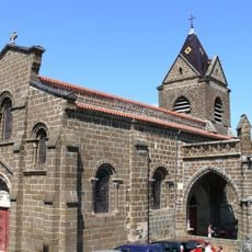
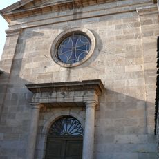
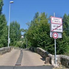
The mountain connects to the starting point of the Santiago de Compostela pilgrimage route near Puy-en-Velay, which has shaped the region for centuries. This passage draws pilgrims from across Europe who follow ancient paths through the local landscape.

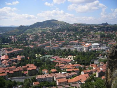
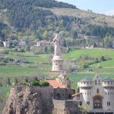
The mountain offers maintained hiking trails across meadows and forests with views toward Puy-en-Velay Cathedral and Saint-Michel d'Aiguilhe rock. Plan to visit on foot and allow time for the climb and to explore the rock formations around the summit area.

The mountain hosts seven bat species in the Denise cave, with six designated as conservation priorities in European wildlife programs. These creatures use the cave systems for shelter and make the location an important refuge in the region.

The community of curious travelers

AroundUs brings together thousands of curated places, local tips, and hidden gems, enriched daily by 60,000 contributors worldwide.

Start exploring
Location
Location
Elevation above the sea
890 m
GPS coordinates
45.05813,3.85455
Latest update
December 6, 2025 17:46
Natural areas in France: mountain lakes, limestone gorges, and forests

France features a notable variety of protected natural areas, showcasing the country’s geological and ecological richness. From Lake Allos in the Alpes-de-Haute-Provence to the underground rivers of Padirac in Dordogne, from the mountain ranges of Savoy to the limestone formations of the Ardèche...

« Mont Denise - Volcanic summit in Haute-Loire, France » is provided by Around Us (aroundus.com). Images and texts are derived from Wikimedia project under a Creative Commons license. You are allowed to copy, distribute, and modify copies of this page, under the conditions set by the license, as long as this note is clearly visible.

Discover hidden gems everywhere you go!

From secret cafés to breathtaking viewpoints, skip the crowded tourist spots and find places that match your style. Our app makes it easy with voice search, smart filtering, route optimization, and insider tips from travelers worldwide. Download now for the complete mobile experience.

Around Us App Screenshot

A unique approach to discovering new places

Le Figaro

All the places worth exploring

France Info

A tailor-made excursion in just a few clicks

20 Minutes

Around Us
Travel Guide & Maps
Download

Send to your phone

QR Code
1

Open the camera app on your mobile.

2

Point at the QR code with your camera. A notification will appear.

3

Tap the notification to open the link.