Ardennes massif, Mountain range in eastern Belgium and northern France
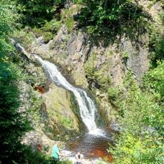
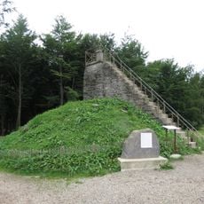
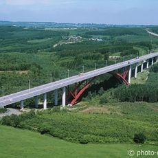
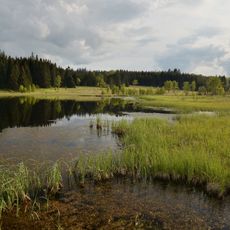
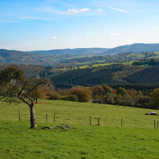
The Ardennes massif is the core of the Ardenne natural region, shared by Belgium, France and Luxembourg and continued into Germany by the Eifel. It is a low range of rounded ridges, with the wooded slope in front partly hiding the higher ground behind; fields and small pale villages dot the slopes. Its highest point is the signal de Botrange at 694 m.
The massif is the eroded remnant of a mountain chain once as high as the Alps, a western part of the Rhenish Massif within the Hercynian belt. Its crescent shape follows the Variscan folds. After a long peneplanation, Cenozoic uplift rejuvenated the relief and forced the Meuse to cut through the anticlines and synclines between Charleville-Mézières and Namur.
The region is home to several medieval abbeys such as Orval, Saint-Hubert, and Stavelot, which continue to serve as pilgrimage sites and maintain their original religious purpose. These monasteries shape the landscape and draw visitors who wish to experience both spirituality and local crafts like beer brewing and cheese making.
The Meuse cuts through the massif from Charleville-Mézières to Namur, crossing a series of anticlines and synclines; the wooded ridge in front often hides the ridgeline behind it. The relief provides the valleys and short climbs typical of the Ardennes classics. The highest ground lies in the province of Liège, around the signal de Botrange.
The "red marble of Flanders" quarried here is not marble but a Frasnian limestone, about 380 million years old, formed in a warm shallow sea and full of brachiopod fossils. It appears in the Galerie des Glaces at Versailles and at Chantilly; the quarrying industry was based at Rance.
The community of curious travelers
AroundUs brings together thousands of curated places, local tips, and hidden gems, enriched daily by 93,121 contributors worldwide.