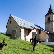
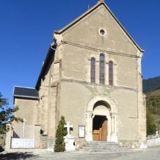
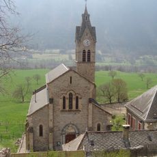
Taillefer, Mountain range in Isère, France
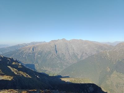
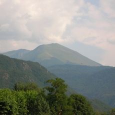
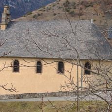
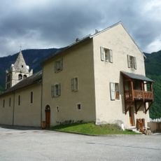
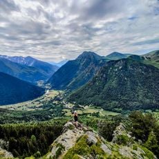
Taillefer is a mountain range in Isère that extends southwest from the Belledonne chain and sits between the Vercors and Dévoluy regions. The massif is bordered by four rivers and contains peaks, plateaus, and valleys formed by glacial activity.
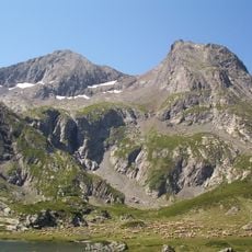
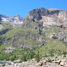
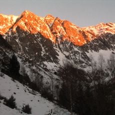
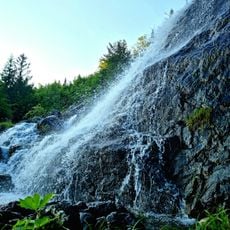
The Grand Glacier within this range has steadily shrunk over recent geological time, reflecting climate changes affecting the French Alps. The glacier's retreat marks environmental shifts that have reshaped the landscape.
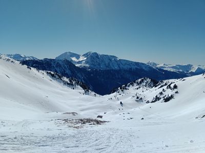
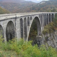
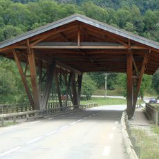
The mountain paths here serve hikers and climbers throughout the year, creating a space where people pursue outdoor activities in all seasons.
The main hiking routes start at Combe Oursière around 1670 meters elevation and climb steeply with switchbacks along the ridge terrain. Strong footwear and weather-resistant clothes are essential since altitude and exposure can bring sudden weather changes.
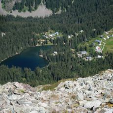
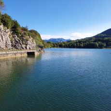
The range contains numerous mountain lakes scattered across the Grand Galbert plateau, including Lake Fourchu and Lake Noir ringed by crystalline rock. These water bodies offer surprising pauses in the landscape and create focal points for exploration.
The community of curious travelers
AroundUs brings together thousands of curated places, local tips, and hidden gems, enriched daily by 60,000 contributors worldwide.