Enable Location

We need your location to show you interesting places around you

Discover nearby places

Find interesting locations and hidden gems around you

Precise directions

Get accurate directions and distances to places

Your location is never shared with other users. It's only used when you tap the location button.

Le Taillefer

Log in to your account

Start exploring — it's free

Trusted by 61,913 travelers worldwide

Continue with Google
Continue with Apple
or

We will send you a code to connect

By continuing, you accept our Terms and Conditions and our Privacy Policy

Check your inbox

We've sent a pincode in your inbox. Please enter the code below.

Le Taillefer

Le Taillefer, Mountain peak in Isère, France

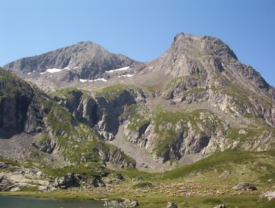
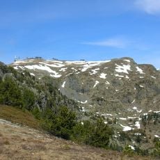
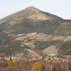
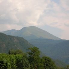
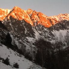
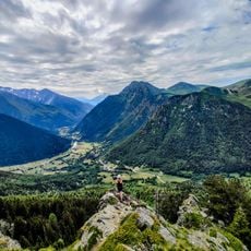
Le Taillefer is a mountain peak in the Dauphiné Alps that rises to 2,857 meters and forms a distinctive silhouette visible from Grenoble on the southeastern horizon. The summit serves as the main peak of the Taillefer Massif with steep rock formations and varied slope angles.

The mountain takes its name from the reddish color of its rocks, which early settlers connected to the ore processed in local blacksmith workshops. This link to mining and metalworking traditions shaped how the region understood the land for centuries.

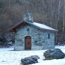
Military personnel installed a statue of Saint Eloi, the patron saint of blacksmiths, at the summit in 1998, creating a connection with local metallurgic traditions.

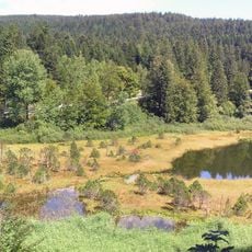
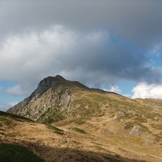
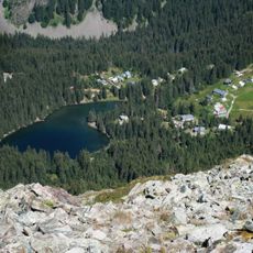
The climb starts from Combe Oursière at 1,670 meters, following a marked trail that passes Lake Poursollet before the steep final push to the summit. Good weather and mountain hiking experience are important for this route.

A statue of Saint Eloi, patron saint of blacksmiths, was installed at the summit in 1998 by military personnel, linking the peak to metalworking traditions of the region. The massif also contains 28 protected habitats within the Natura 2000 network, making it an important conservation area.

The community of curious travelers

AroundUs brings together thousands of curated places, local tips, and hidden gems, enriched daily by 60,000 contributors worldwide.

Start exploring
Location
Elevation above the sea
2,857 m
GPS coordinates
45.03936,5.92424
Latest update
December 13, 2025 11:41
« Le Taillefer - Mountain peak in Isère, France » is provided by Around Us (aroundus.com). Images and texts are derived from Wikimedia project under a Creative Commons license. You are allowed to copy, distribute, and modify copies of this page, under the conditions set by the license, as long as this note is clearly visible.

Discover hidden gems everywhere you go!

From secret cafés to breathtaking viewpoints, skip the crowded tourist spots and find places that match your style. Our app makes it easy with voice search, smart filtering, route optimization, and insider tips from travelers worldwide. Download now for the complete mobile experience.

Around Us App Screenshot

A unique approach to discovering new places

Le Figaro

All the places worth exploring

France Info

A tailor-made excursion in just a few clicks

20 Minutes

Around Us
Travel Guide & Maps
Download

Send to your phone

QR Code
1

Open the camera app on your mobile.

2

Point at the QR code with your camera. A notification will appear.

3

Tap the notification to open the link.