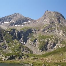
Grand Galbert, Mountain summit in Taillefer Range, France.
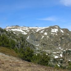
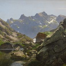
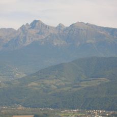
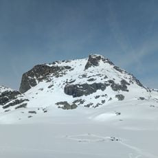
Grand Galbert is a mountain summit in the Taillefer Range that rises to 2561 meters above sea level. The ascent crosses steep rocky terrain with sparse alpine vegetation typical of high mountain environments.
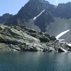
The sources record no climbing or mapping history for Grand Galbert itself. Its documented past is geological: its south and south-east faces are remnants of a pre-Triassic peneplain, a worn plateau now holding lakes such as Lac Fourchu and Lac Canard, linked to the Taillefer summit via the pas de l'Envious, only 400 metres below the top.
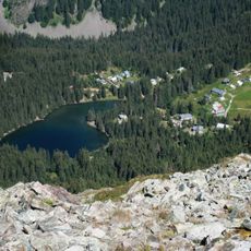
The plateau of lakes below the summit, about 3 km long and 2.5 km wide, is crossed by hiking trails including the GR 50. Walkers reach it from the chalets and Lac du Poursollet to the southwest, or from the villages of Oulles and Ornon to the east. The lakes include Lac Fourchu, Lac Canard, Lac du Pin, Lac de Beauregard and Lac des Aiguillons.
Marked trails provide access from June through September, with warm dry days offering the best climbing conditions. Proper alpine gear is essential, and visitors new to high mountains should allow time to adjust to the elevation.
The summit's south-eastern side is a remnant of a pre-Triassic peneplain, a plateau roughly 3 km long and 2.5 km wide linking it to the Taillefer via the pas de l'Envious, only 400 m below the top. This plateau holds numerous lakes and ponds, among them lac Fourchu, lac Canard, lac du Pin and lac de Beauregard.
The community of curious travelers
AroundUs brings together thousands of curated places, local tips, and hidden gems, enriched daily by 92,729 contributors worldwide.