Grande Lauzière, Alpine summit in Isère, France
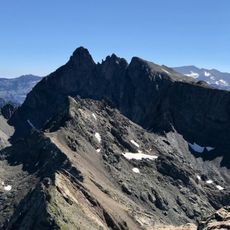
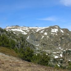
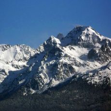
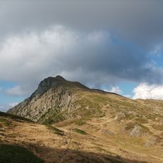
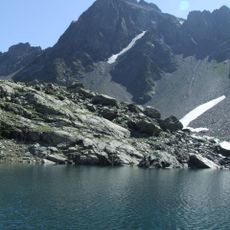
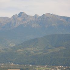
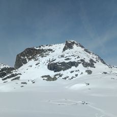
Grande Lauzière is a summit of the Belledonne range in the Isère department, reaching 2,741 metres. Its gray rock face is cut by steep gullies and ridges, with snow lingering in the upper hollows and bands of green grass meeting scree lower down. A sharp peak stands to the left of the highest point, and a lower rounded summit to the right.
Grande Lauzière rises to 2,741 m in the Belledonne chain, in the Isère department. Its summit lies at the meeting point of the communes of Revel, Allemond and Livet-et-Gavet, so the peak has long marked where one valley community's land ends and another's begins. The sources record no dated events for the summit itself.
The summit lies at the meeting point of three communes: Revel, Allemond and Livet-et-Gavet. Its name, Lauzière, refers to the lauzes, flat limestone slabs once used as roofing in the region's villages. Hikers on the summit ridge cross from one commune to another without any visible boundary marker.
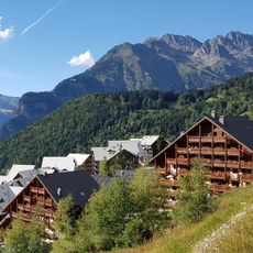
During summer, marked hiking trails lead from the valley to the summit, with nearby villages offering lodging and supplies. Visitors need sturdy boots and weather-appropriate gear since mountain conditions can shift quickly.
The summit rises to 2,741 metres in the Belledonne chain, and its position is shared by the communes of Revel, Allemond and Livet-et-Gavet. The photograph shows the highest point near the centre, a sharp peak to its left and a lower rounded summit to the right, with snow lying in the upper hollows.
The community of curious travelers
AroundUs brings together thousands of curated places, local tips, and hidden gems, enriched daily by 94,661 contributors worldwide.