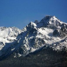
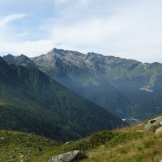
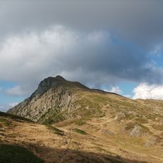
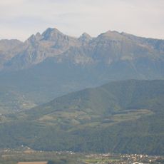
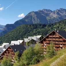
Grand Pic de Belledonne, Alpine summit in Allemond and Sainte-Agnès, Isère, France.
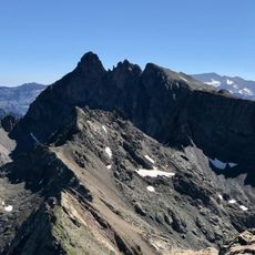
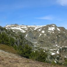
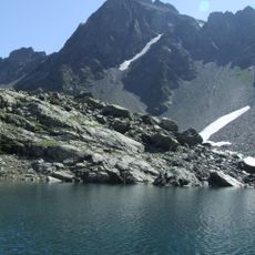
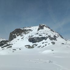
Grand Pic de Belledonne is the highest summit of the Belledonne massif in the Dauphiné Alps, reaching 2977 metres between Allemond and Sainte-Agnès. Its upper ridge carries three sharp, closely spaced peaks, the central one highest, with bands of snow and ice below the crest and a snowfield running down the centre. Dark scree slopes fan out beneath the snow, cut by a winding stream, and the massif rises above a turquoise lake at its base.
The first documented ascent took place in 1859 when four climbers reached the summit via the Eau d'Olle valley and Lac de Belledonne. A mountain refuge was built in 1875, marking its growing importance as a climbing destination.
The summit had two names by slope: roc de Freydone on the Grésivaudan side and pic de Belledonne in the Eau d'Olle valley. The 1749 Bourcet map fixed Belledonne for the highest point, while Cassini's map joined both as roc de Freydone ou de Belledonne. The corridor between the Grand Pic and Pic Central is named for Auguste Reynier, who opened the first route there in 1891.
Climbing requires ice axes, crampons, and helmets, with constant attention to weather conditions and avalanche warnings throughout the year. Alpine climbing experience is essential, particularly on slopes exceeding 50 degrees.
Its prominence of 1,053 metres, measured against the Col du Glandon, makes it the highest point for miles around; the nearest taller summit is the Aiguille Noire in the Grandes Rousses. The summit ridge is made of amphibolite from the Chamrousse ophiolite complex, a fragment of ancient sea floor trapped in a Hercynian syncline.
The community of curious travelers
AroundUs brings together thousands of curated places, local tips, and hidden gems, enriched daily by 92,640 contributors worldwide.