Pic de la Belle Étoile, Alpine summit in Belledonne, Isère, France
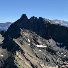
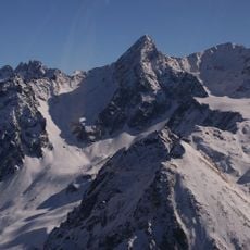
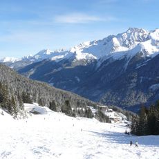
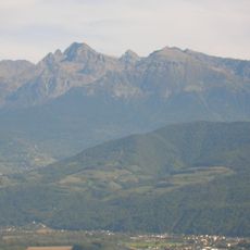
Pic de la Belle Étoile is an Alpine peak reaching 2718 meters in the Belledonne range with exposed rocky faces and snow-laden slopes that change with the seasons. The mountain displays varied terrain from bare rock to white slopes depending on weather and time of year.
The sources record no founding date or first-ascent story for Pic de la Belle Étoile; its documented history is one of use rather than exploration. The 2,718-metre summit in the Belledonne range, in the Isère department, carries a radio-communication antenna operated by mountain rescue services. The peak also gives its name to a two-day ski-mountaineering event with roughly 5,000 metres of positive gain, and to the "Défi du Haut Bréda", which links Allevard to the summit by bike and then on touring skis.
La Belle Étoile is also the name of a two-day ski mountaineering event that totals roughly 5,000 metres of positive gain. A related challenge, the "défi du Haut Bréda", links Allevard to the summit by bike and then on touring skis.
The summit lies at 2,718 m in the Belledonne range, above the Haut Bréda valley reached from Allevard. The final slopes are steep and partly snow-covered into summer, so crampons and an ice axe are useful. A radio antenna stands on the top, marking the summit from below.
A radio antenna at the summit supports mountain rescue teams in coordinating operations across the broader Belledonne range. This infrastructure underscores the peak's role in modern alpine emergency response.
The community of curious travelers
AroundUs brings together thousands of curated places, local tips, and hidden gems, enriched daily by 93,611 contributors worldwide.