Grand Rocher, Mountain summit in Belledonne range, France
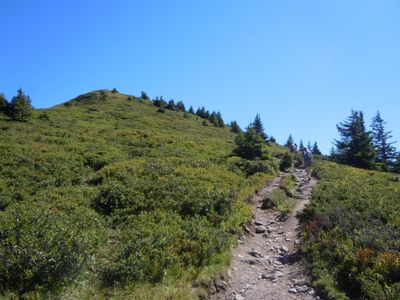
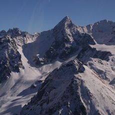
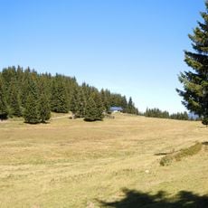
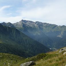
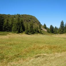
Grand Rocher is a summit in the Belledonne range reaching 1926 meters, positioned between the Grésivaudan and Bréda valleys at the northern edge of the chain. The mountain features forested slopes and alpine meadows that rise toward the peak, with exposed rock formations visible from higher elevations.
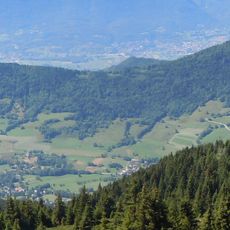
Mountain passages through this area served as vital trade routes connecting Alpine communities across the surrounding valleys for many generations. These paths shaped how people have moved through and understood the landscape over time.
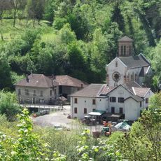
The Crêt du Poulet shelter serves as a gathering point where hikers meet and exchange knowledge about mountain traditions tied to the Isère region. Visitors can witness how locals maintain their connection to these alpine landscapes through regular visits and shared experiences.
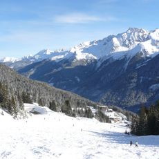
The trail to the summit starts at Barioz Nordic center and covers about 11 kilometers through forest and meadow paths with steady elevation gain. Bring proper gear for changing mountain weather and allow adequate time for the journey, as the terrain becomes steeper in the final sections.
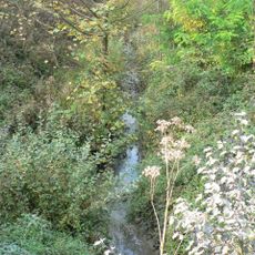
Protected peat bogs surrounding the peak harbor rare Alpine plants found nowhere else in the region, creating a living laboratory for mountain ecology. These wetland areas reveal how plant life adapts to extreme elevation and harsh seasonal conditions found on higher slopes.
The community of curious travelers
AroundUs brings together thousands of curated places, local tips, and hidden gems, enriched daily by 60,000 contributors worldwide.