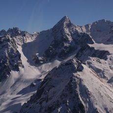
Crêt Luisard, Mountain summit in Belledonne range, Isère, France.
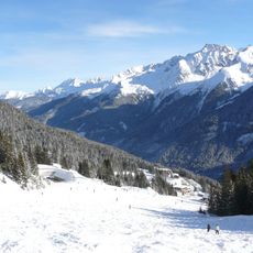
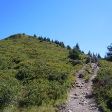
Crêt Luisard rises to 1,803 meters in the Belledonne range of the French Alps. The peak sits along a marked hiking route system that connects several mountain refuges in the area.
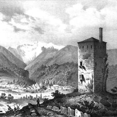
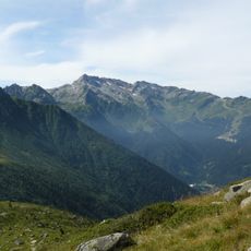
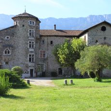
The mountain is part of the Dauphiné Alps, which have long served as natural landmarks for people living in the region. These peaks guided movement and settlement patterns for centuries.
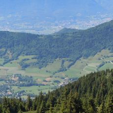
The summit lies on a hiking route that connects mountain shelters and shapes how people experience the Alps in this region. Local walkers view it as a landmark point in their relationship with the surrounding mountains.
The hike starts at Col du Barioz and takes roughly three hours to reach the summit. The path is clearly marked, though hikers should prepare for variable mountain weather conditions.
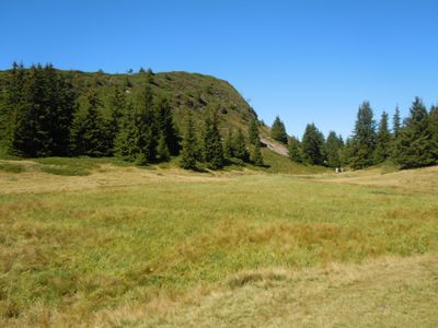
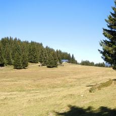
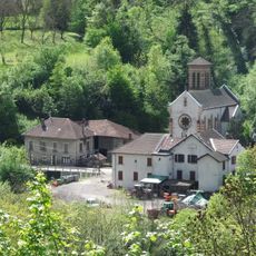
The surrounding area contains the Sept-Laux peat bogs, a protected zone where specific plant species and wildlife thrive in wetland conditions. These boggy areas stand out noticeably from the rest of the alpine terrain.
The community of curious travelers
AroundUs brings together thousands of curated places, local tips, and hidden gems, enriched daily by 60,000 contributors worldwide.