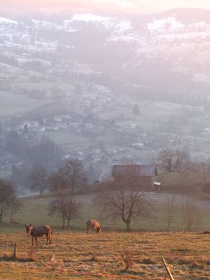
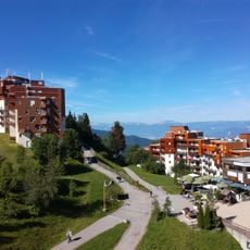
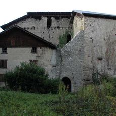
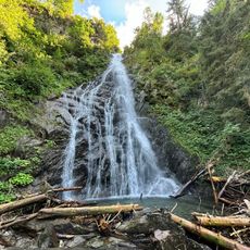
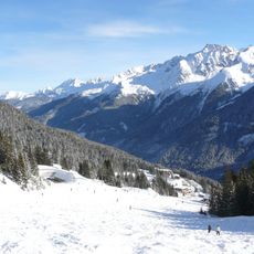
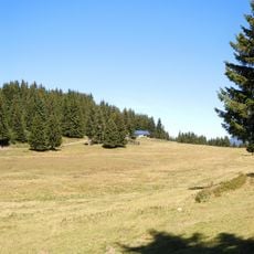
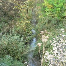
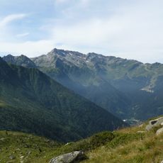
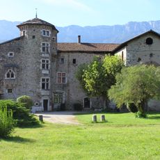
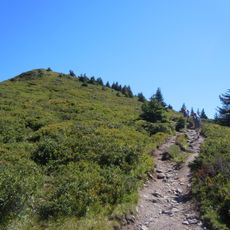
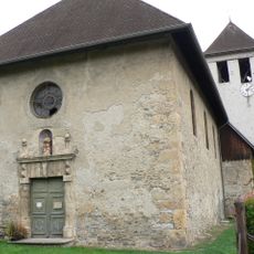
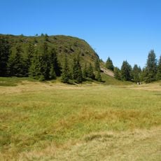
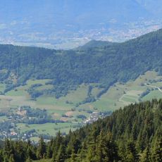
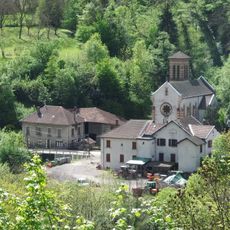
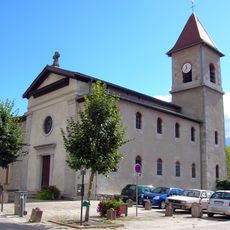
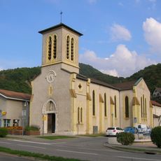
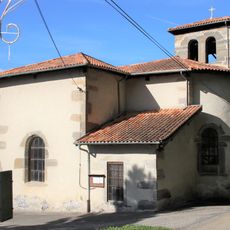
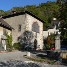
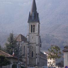
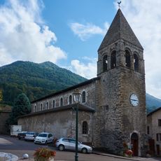
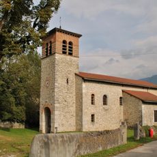
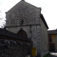
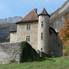
Theys, commune in Isère, France
Location: canton of Goncelin
Location: Isère
Location: arrondissement of Grenoble
Elevation above the sea: 1,171 m
Shares border with: Goncelin, Les Adrets, Hurtières, Crêts-en-Belledonne, Tencin, Le Haut-Bréda
Address: 1 place de l'Église, 38570 Theys 38570 38570
Phone: +33476710547
Email: mairie.theys@wanadoo.fr
Website: http://theys.fr
GPS coordinates: 45.30028,5.99694
Latest update: May 27, 2025 06:35
Les sept Laux
5 km
Châtel de Theys
247 m
Cascade du Pissou
7.3 km
Vallée du Haut Bréda
6.9 km
Crêt du Poulet
5.9 km
Canal de la Chantourne
6.7 km
Pic de la Belle Étoile
8.4 km
Manoir de la Tour
7.9 km
Grand Rocher
4.2 km
Église Saint-Étienne de Laval-en-Belledonne
7.2 km
Crêt Luisard
4.9 km
Coteau de l'Adret
2.3 km
Église Saint-Michel de Morêtel-de-Mailles
7.6 km
Église Sainte-Mairie-Madelaine
6.6 km
Église Sainte-Barbe de Froges
6.4 km
Église Saint-Pierre de La Pierre
4.1 km
Église Notre-Dame du Champ-près-Froges
5 km
Église Saint-Jean-Baptiste
2.9 km
Église Saint-Didier du Touvet
7.3 km
Saint Thérèse of Lisieux Church
5 km
Église Saint-Aupre de La Terrasse
5.5 km
Beaumont castle
7.5 km
Manoir de Veaubeaunais
3.6 km
Tour de Montfallet
7.4 km
Chapelle du cimetière de La Terrasse
5.3 km
Château de Tencin
3 km
Chapelle du Carré
6.4 km
Château du Carré
6.5 kmReviews
Visited this place? Tap the stars to rate it and share your experience / photos with the community! Try now! You can cancel it anytime.
Discover hidden gems everywhere you go!
From secret cafés to breathtaking viewpoints, skip the crowded tourist spots and find places that match your style. Our app makes it easy with voice search, smart filtering, route optimization, and insider tips from travelers worldwide. Download now for the complete mobile experience.
A unique approach to discovering new places❞
— Le Figaro
All the places worth exploring❞
— France Info
A tailor-made excursion in just a few clicks❞
— 20 Minutes