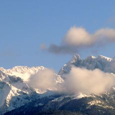
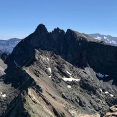
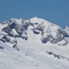
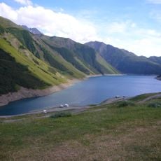
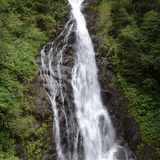
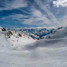
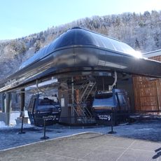
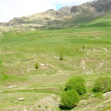
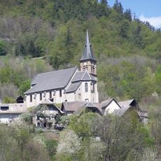
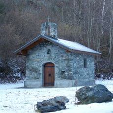
Le Rissiou, mountain summit in Vaujany, France
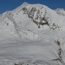
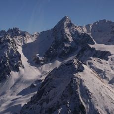
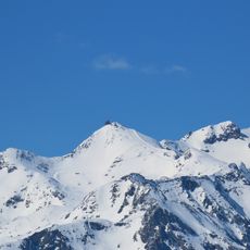
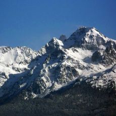
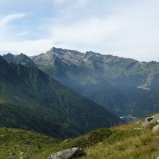
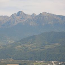
Le Rissiou is a 2,622-metre mountain in the Grandes Rousses massif in Isère, above Vaujany. Its triangular form is bounded by the Eau d'Olle to the north and west and the Flumet to the south-east, and it connects to the rest of the massif via the Col du Sabot. Four rocky ridges radiate from the summit: south-south-west to La Scia, south-south-east to Gros Treu, north-east to the Rochers Rissiou and Rochers Motas, and north-north-west to the Têtes de Chalvet and Monvoisin.
The mountain formed during Alpine mountain building processes and is part of the Grandes Rousses massif that shapes the landscape of this region. Climbers have explored and passed down knowledge of its routes across many generations.
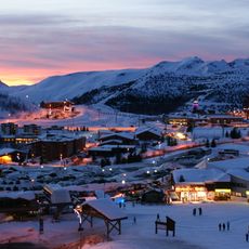
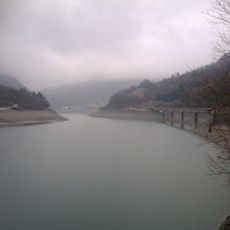
Le Rissiou's triangular form is read from Vaujany, whose village sits on its sunny eastern slope. The mountain is bounded by the Eau d'Olle to the north and west and by the Flumet to the south-east, and the col du Sabot links it eastward to the rest of the Grandes Rousses. A forced conduit between the Grand'Maison and Verney dams crosses the mountain, with a surge shaft at Le Collet on the south ridge above the village and the Verney lake.
Multiple hiking paths provide access to the summit, though proper gear and preparation are necessary for the ascent. Weather conditions can change rapidly in this Alpine location and should always be checked beforehand.
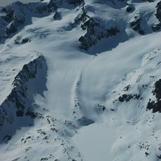
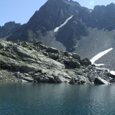
The mountain displays natural avalanche corridors and distinct snow patterns during winter that shape skiing conditions. These features influence how people use and navigate the mountain during the snowy season.
The community of curious travelers
AroundUs brings together thousands of curated places, local tips, and hidden gems, enriched daily by 93,362 contributors worldwide.