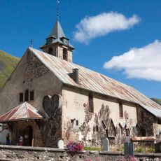
Pic de l'Étendard, Mountain peak in Grandes Rousses massif, France
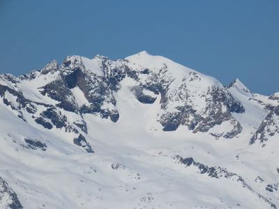
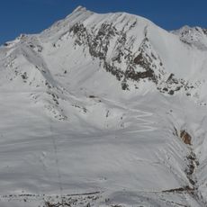
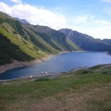
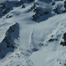
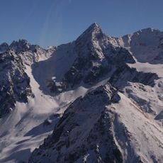
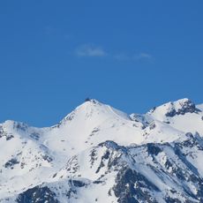
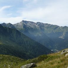
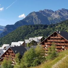
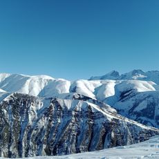
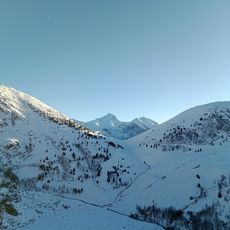
Pic de l'Étendard is a mountain summit in the Grandes Rousses massif at 3464 meters, located in the Alps on the border between Isère and Savoie. The peak has glaciers on multiple sides that are typical of this high-altitude alpine region.
The peak has marked the administrative border between Isère and Savoie departments for centuries and continues to define a natural boundary in the French Alps. Its position at this border line has shaped the geographical significance of the region throughout French history.
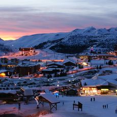
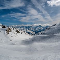
The peak represents a significant milestone for mountaineers in French Alpine climbing tradition, drawing experienced climbers from across Europe throughout the climbing season.
Reaching the summit requires mountaineering experience, technical climbing skills, and proper equipment such as ropes and ice axes. The best climbing season runs from late summer into early fall when conditions are most stable for glacier and ice climbing.
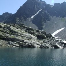
The peak is composed of mica schist, a mineral formed under extreme pressures that gives the rock a distinctive layered structure. This geological composition is unusual for summits at this elevation and affects how the mountain responds to weather and climatic stress.
Location: Isère
Elevation above the sea: 3,464 m
Made from material: mica schist
Website: http://geodesie.ign.fr/fiches/index.php?module=e&action=fichepdf&source=carte&sit_no=7328001
GPS coordinates: 45.15444,6.14392
Latest update: December 14, 2025 09:42
Alpe d'Huez
9.2 km
Notre Dame des Neiges
9.3 km
Herpie mine
7.5 km
Lac de Grand Maison
5.9 km
Lac du Verney
7.8 km
Pic Bayle
2 km
Rocher Blanc
10.1 km
Pic du Lac Blanc
3.5 km
Glacier de Sarenne
4.5 km
Télécabine de l'Eau d'Olle Express
8.9 km
Grotte Théophile
7.1 km
Église Saint-Saturnin de Saint-Sorlin-d'Arves
10 km
Pic de la Belle Étoile
11.6 km
Musée EDF Hydrélec
7.4 kmGlacier des Quirlies
993 m
Grand Charnier d'Allemond
11.6 km
Le Rissiou
6.8 km
Chemin de l'Alaska
9.5 km
Scenic viewpoint
7.5 km
Scenic viewpoint
8.4 km
Église Saint-Ferréol d'Huez
9.2 km
Site minier des Brandes
8.9 km
Église Saint-Nizier d'Allemond
8.8 km
Église Saint-Jacques-et-Saint-Christophe de Mizoën
11.6 km
Église Sainte-Anne d'Huez
10.6 km
Chapelle Notre-Dame des Prés Plans
8.3 km
Croix du col de la Croix de Fer
9.4 km
Chapelle Saint-Pierre de l'Église
10.5 kmVisited this place? Tap the stars to rate it and share your experience / photos with the community! Try now! You can cancel it anytime.
Discover hidden gems everywhere you go!
From secret cafés to breathtaking viewpoints, skip the crowded tourist spots and find places that match your style. Our app makes it easy with voice search, smart filtering, route optimization, and insider tips from travelers worldwide. Download now for the complete mobile experience.
A unique approach to discovering new places❞
— Le Figaro
All the places worth exploring❞
— France Info
A tailor-made excursion in just a few clicks❞
— 20 Minutes