Enable Location

We need your location to show you interesting places around you

Discover nearby places

Find interesting locations and hidden gems around you

Precise directions

Get accurate directions and distances to places

Your location is never shared with other users. It's only used when you tap the location button.

Pic Bayle

Log in to your account

Start exploring — it's free

Trusted by 63,012 travelers worldwide

Continue with Google
Continue with Apple
or

We will send you a code to connect

By continuing, you accept our Terms and Conditions and our Privacy Policy

Check your inbox

We've sent a pincode in your inbox. Please enter the code below.

Pic Bayle
Discussion Reviews 2 Photos
1.3k Popularity

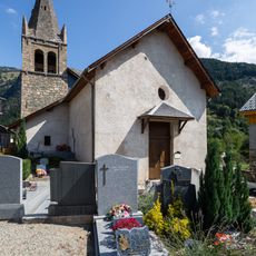
Pic Bayle, Mountain summit in Isère, France

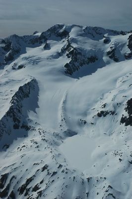
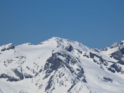
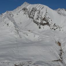
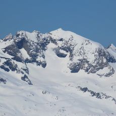
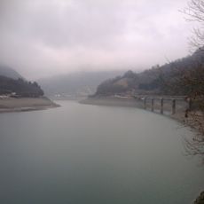
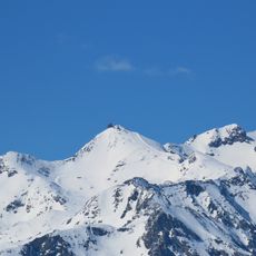
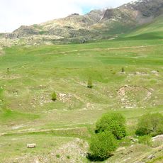
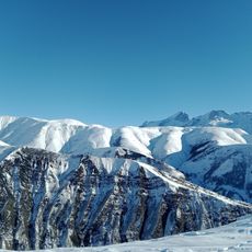
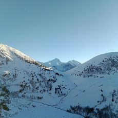
Pic Bayle is a mountain summit in the Grandes Rousses range within the Dauphiné Alps, rising to 3,465 meters in elevation. The peak displays mica schist rock formations and sits at the boundary between three valleys and municipalities in the Isère department.

The peak was first documented ascended in 1874 when Joseph Bayle reached the summit, leading to the mountain receiving his name. This ascent marked an important moment in the exploration history of the Grandes Rousses range.

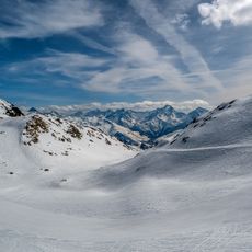
The summit serves as a reference point for mountaineers exploring the Dauphiné Alps and connects local alpinist traditions with modern recreational climbing. Hikers and climbers passing through the region often include it in their mountain journeys.

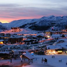
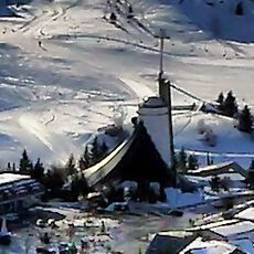
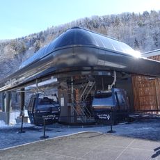
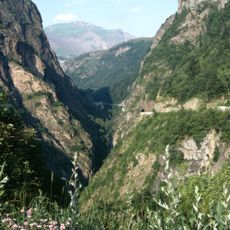
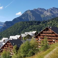
Hikers can access the peak via marked paths starting near the Alpe d'Huez ski resort area. The approach requires mountain experience and good weather, with the Abri Rajon shelter available partway up for rest and protection.

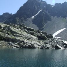
Several climbing routes lead directly to the summit, with some accessible to intermediate climbers without rope equipment. This straightforward access makes it a popular intermediate goal on multi-day alpine treks in the area.

The community of curious travelers

AroundUs brings together thousands of curated places, local tips, and hidden gems, enriched daily by 60,000 contributors worldwide.

Start exploring
Location
Elevation above the sea
3,465 m
Made from material
mica schist
GPS coordinates
45.13777,6.13558
Latest update
December 14, 2025 17:42
Reviews
Share your experience

No review yet

Discussions
Start a discussion...

No discussion yet

« Pic Bayle - Mountain summit in Isère, France » is provided by Around Us (aroundus.com). Images and texts are derived from Wikimedia project under a Creative Commons license. You are allowed to copy, distribute, and modify copies of this page, under the conditions set by the license, as long as this note is clearly visible.

Discover hidden gems everywhere you go!

From secret cafés to breathtaking viewpoints, skip the crowded tourist spots and find places that match your style. Our app makes it easy with voice search, smart filtering, route optimization, and insider tips from travelers worldwide. Download now for the complete mobile experience.

Around Us App Screenshot

A unique approach to discovering new places

Le Figaro

All the places worth exploring

France Info

A tailor-made excursion in just a few clicks

20 Minutes

Around Us
Travel Guide & Maps
Download

Send to your phone

QR Code
1

Open the camera app on your mobile.

2

Point at the QR code with your camera. A notification will appear.

3

Tap the notification to open the link.