Vaujany, commune in Isère, France
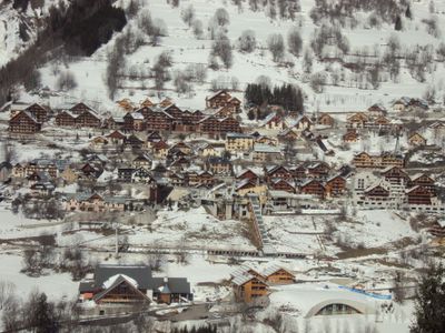
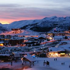
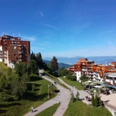
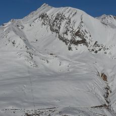
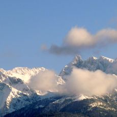
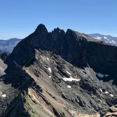
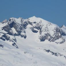
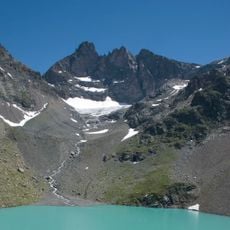
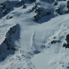
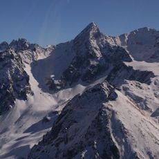
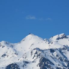
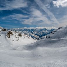
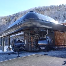
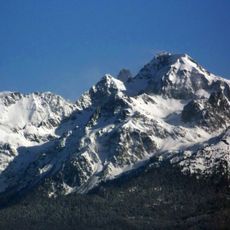
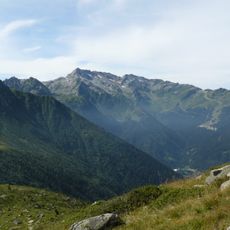
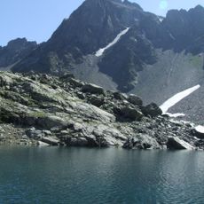
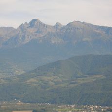
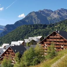
Vaujany is a small mountain village at 1,250 meters (4,100 feet) on the slopes of the Grandes Rousses massif in Isère. Narrow streets with traditional stone houses and wooden details create its character, while the village functions as a ski resort in winter and a hiking destination in summer.
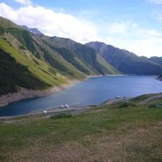
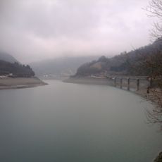
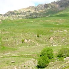
The village grew as a stopping point on an important mountain passage route, where residents once worked as farmers and herders. The building of the Grand'Maison Dam in the 20th century reshaped local life, causing many people to move away as agricultural livelihoods faded.
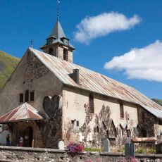
Vaujany takes its name from Latin words meaning 'way through,' reflecting its past as a resting place for mountain travelers. The traditional wooden balconies and stone houses, along with local festivals featuring traditional music and food, show how residents continue to honor their customs in daily life.
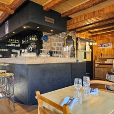
The village is easily reached by car or public transport with ample parking available nearby. Visitors will find a swimming pool, ice rink, cinema, and various accommodations on-site, all accessible throughout the year.
The village has received awards for being family-friendly, supporting environmental efforts, and maintaining tourism quality. These recognitions reflect a genuine commitment to preserving the natural landscape and keeping mountain life authentic for visitors.
The community of curious travelers
AroundUs brings together thousands of curated places, local tips, and hidden gems, enriched daily by 60,000 contributors worldwide.