Enable Location

We need your location to show you interesting places around you

Discover nearby places

Find interesting locations and hidden gems around you

Precise directions

Get accurate directions and distances to places

Your location is never shared with other users. It's only used when you tap the location button.

Le Rochail

Log in to your account

Start exploring — it's free

Trusted by 63,029 travelers worldwide

Continue with Google
Continue with Apple
or

We will send you a code to connect

By continuing, you accept our Terms and Conditions and our Privacy Policy

Check your inbox

We've sent a pincode in your inbox. Please enter the code below.

Le Rochail
Discussion Reviews 1 Photos
1.2k Popularity

Le Rochail, Mountain summit in Isère, France

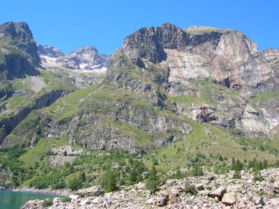
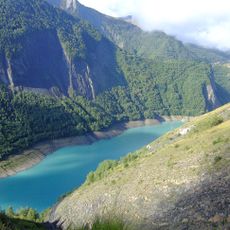
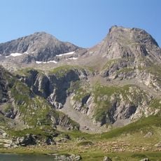
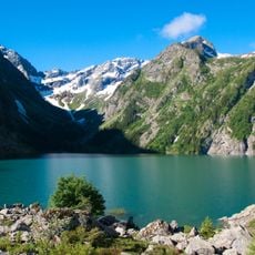
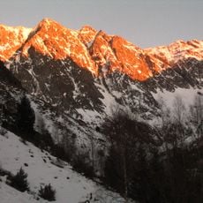
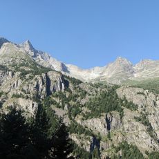
Le Rochail is a granite summit in the Écrins National Park that reaches 3022 meters above sea level. The peak overlooks the surrounding Dauphiné Alps and the valleys below, with stone formations making up the mountain's structure.

The summit was formed millions of years ago through tectonic forces that shaped the Alpine range and created its granite core. The geological processes that built this part of the Alps are still visible in the rock formations today.

The peak serves as a meeting point for mountain enthusiasts who gather annually to practice traditional Alpine climbing and hiking techniques.

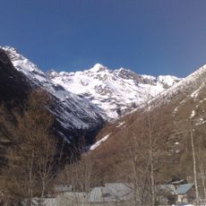
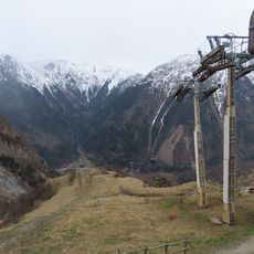
The summit can be accessed via marked trails that start from nearby villages such as Villard-Notre-Dame and surrounding areas. Because of its altitude and exposed position, proper mountain gear and previous hiking experience are needed for a safe visit.

Three ridge lines converge at the summit, creating multiple separate viewpoints across the mountain landscape. This ridge formation makes exploring the peak a geometrically distinctive experience.

The community of curious travelers

AroundUs brings together thousands of curated places, local tips, and hidden gems, enriched daily by 60,000 contributors worldwide.

Start exploring
Location
Elevation above the sea
3,022 m
Made from material
granite
Part of
Massif des Écrins
GPS coordinates
44.98011,6.03128
Latest update
December 14, 2025 18:42
Reviews
Share your experience

No review yet

Discussions
Start a discussion...

No discussion yet

« Le Rochail - Mountain summit in Isère, France » is provided by Around Us (aroundus.com). Images and texts are derived from Wikimedia project under a Creative Commons license. You are allowed to copy, distribute, and modify copies of this page, under the conditions set by the license, as long as this note is clearly visible.

Discover hidden gems everywhere you go!

From secret cafés to breathtaking viewpoints, skip the crowded tourist spots and find places that match your style. Our app makes it easy with voice search, smart filtering, route optimization, and insider tips from travelers worldwide. Download now for the complete mobile experience.

Around Us App Screenshot

A unique approach to discovering new places

Le Figaro

All the places worth exploring

France Info

A tailor-made excursion in just a few clicks

20 Minutes

Around Us
Travel Guide & Maps
Download

Send to your phone

QR Code
1

Open the camera app on your mobile.

2

Point at the QR code with your camera. A notification will appear.

3

Tap the notification to open the link.