Enable Location

We need your location to show you interesting places around you

Discover nearby places

Find interesting locations and hidden gems around you

Precise directions

Get accurate directions and distances to places

Your location is never shared with other users. It's only used when you tap the location button.

Log in to your account

Start exploring — it's free

Trusted by 66,234 travelers worldwide

Continue with Google
Continue with Apple
or

We will send you a code to connect

By continuing, you accept our Terms and Conditions and our Privacy Policy

Check your inbox

We've sent a pincode in your inbox. Please enter the code below.

Montagne de Regagnas
Discussion Reviews Photo
900+ Popularity

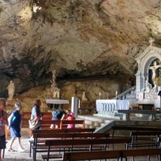
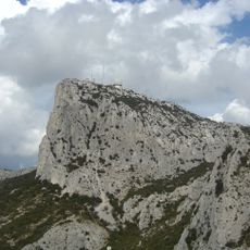
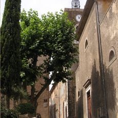
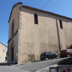
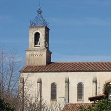
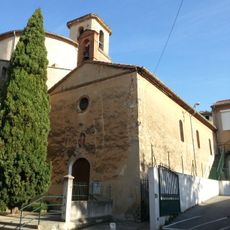
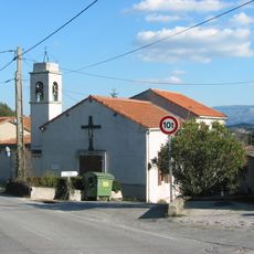
Montagne de Regagnas, Mountain summit in Bouches-du-Rhône, France.

Montagne de Regagnas is a mountain summit in Bouches-du-Rhône that stretches roughly 6 kilometers between the Bouches-du-Rhône and Var departments, with its highest point at 715 meters elevation. The D12 departmental road crosses through the ridge, linking Trets and Saint-Zacharie as it navigates the terrain.

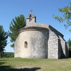
The Regagnas massif forms part of the Sainte-Baume mountain range, a geological formation created during the Alpine orogeny period. This ridge system was shaped by tectonic processes that influenced the region over millions of years.

Cyclists in the area call the Pas de la Couelle, a mountain pass on the D12 road, the Little Galibier, naming it after a famous Alpine crossing. This nickname shows how locals view the route as a cycling challenge and part of their riding traditions.

The D12 road provides year-round access for hikers and cyclists wanting to explore the ridge. Visitors should note that conditions vary with the seasons and proper footwear helps on the slopes.

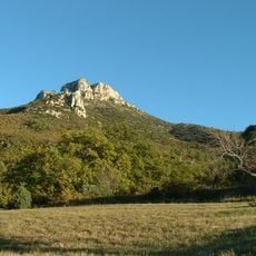
The vegetation on the Var side shows clear marks from past wildfires, creating a stark contrast with the wooded slopes on the Bouches-du-Rhône side. This natural difference lets visitors observe how fire has shaped the landscape differently on each side.

The community of curious travelers

AroundUs brings together thousands of curated places, local tips, and hidden gems, enriched daily by 60,000 contributors worldwide.

Start exploring
Elevation above the sea
715 m
GPS coordinates
43.40001,5.67026
Latest update
December 14, 2025 20:03
Reviews
Share your experience

No review yet

Discussions
Start a discussion...

No discussion yet

« Montagne de Regagnas - Mountain summit in Bouches-du-Rhône, France » is provided by Around Us (aroundus.com). Images and texts are derived from Wikimedia project under a Creative Commons license. You are allowed to copy, distribute, and modify copies of this page, under the conditions set by the license, as long as this note is clearly visible.

Discover hidden gems everywhere you go!

From secret cafés to breathtaking viewpoints, skip the crowded tourist spots and find places that match your style. Our app makes it easy with voice search, smart filtering, route optimization, and insider tips from travelers worldwide. Download now for the complete mobile experience.

Around Us App Screenshot

A unique approach to discovering new places

Le Figaro

All the places worth exploring

France Info

A tailor-made excursion in just a few clicks

20 Minutes

Around Us
Travel Guide & Maps
Download

Send to your phone

QR Code
1

Open the camera app on your mobile.

2

Point at the QR code with your camera. A notification will appear.

3

Tap the notification to open the link.