Montagne des Mémises, Mountain summit in Haute-Savoie, France
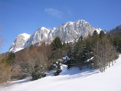
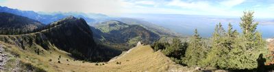
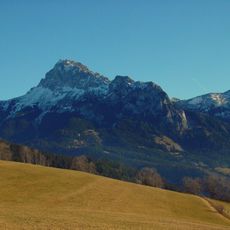
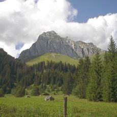
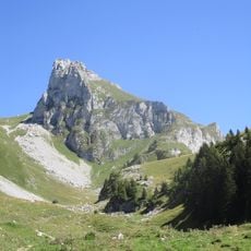
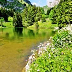
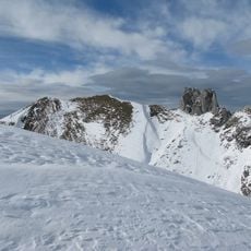
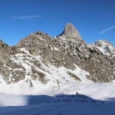
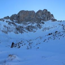
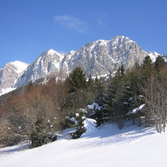
Montagne des Mémises is a mountain in the Chablais Alps of Haute-Savoie, near the Franco-Swiss border, rising to 1,686 m at its highest point on the eastern end of its northern crest. Its main summit, the pic des Mémises, reaches 1,674 m. The mountain forms a perched syncline of Late Jurassic limestone, with a north side of tall cliffs and a gentler south slope.
This mountain formed during the Jurassic and Cretaceous periods as part of an ancient sea floor that was later thrust upward during Alpine mountain building. The layering and rock formations visible today are direct results of these massive geological transformations that shaped the entire Alpine region.
The mountain stands as a central element of the Chablais Geopark, contributing to the natural heritage of the Franco-Swiss border region.
A cable car climbs from Thollon-les-Mémises to 1,595 m, gaining 600 m of elevation and leaving a short walk to the crests. The col de Pertuis, west of the mountain, separates it from the mont César and marks the boundary between Bernex and Thollon-les-Mémises. The north side drops in cliffs, while the south slope is steeper and less developed.
Two crosses stand on the mountain's two summits: the western one, the croix du Vuargne, is named for the Savoyard word for fir, vuargne, and was rebuilt in a more elaborate form in 2013; the eastern cross on the highest point, la Pétolère, is made of steel. A cable car climbs 600 metres of elevation to 1,595 metres.
The community of curious travelers
AroundUs brings together thousands of curated places, local tips, and hidden gems, enriched daily by 94,540 contributors worldwide.