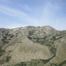
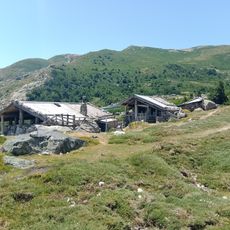
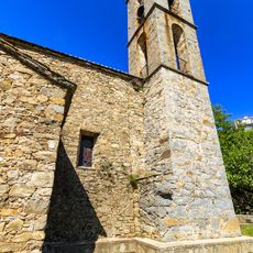
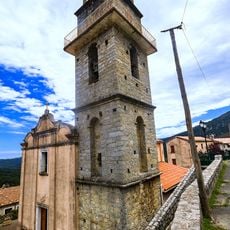
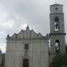
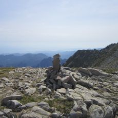
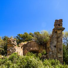
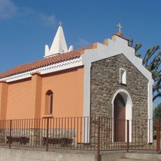
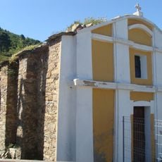
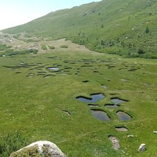
Monte Formicula, Mountain summit in Cozzano and San-Gavino-di-Fiumorbo, France.
Monte Formicula is a mountain summit reaching 1981 meters within the Monte Incudine massif in Corsica. It sits between the Fiumorbo and Taravo valleys, with established hiking routes connecting the communities on either side.
Monte Formicula lies on the boundary between San-Gavino-di-Fiumorbo in Haute-Corse and Cozzano in Corse-du-Sud, a line that separates the island's two administrative departments. Its eastern flank belongs to the Fium'Orbu state forest, the western flank to the Sant'Antone state forest. The summit reaches 1,981 metres within the Monte Incudine massif, inside the Corsica Regional Natural Park.
The Corsican name A Furmìcula means "the ant", a reference to the mountain's shape or size rather than to any insect found there. The summit marks the natural boundary between the Fiumorbo and Taravo regions, and the two communes of San-Gavino-di-Fiumorbo and Cozzano meet on its slopes.
The GR 20 long-distance trail provides clear markings and reliable navigation through both approaches. Check conditions beforehand, as weather can change quickly at higher elevations.
The Corsican name A Furmìcula means "the ant", a reference to the mountain's small size relative to neighbouring Monte Incudine. Its eastern flank lies in the Fium'Orbu state forest, its western flank in the Sant'Antone state forest, so the summit marks the divide between the Abatesco and Travo catchments to the east and the Taravo valley to the west.
The community of curious travelers
AroundUs brings together thousands of curated places, local tips, and hidden gems, enriched daily by 94,574 contributors worldwide.