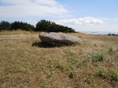
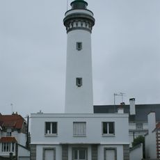
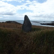
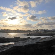
Pointe du Conguel, Protected cape at the southern end of Quiberon peninsula, France.
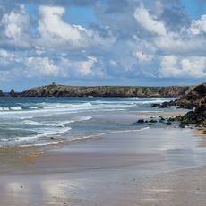
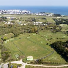
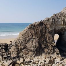
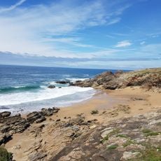
Pointe du Conguel is a rocky cape at the southern tip of the Quiberon peninsula extending into the Atlantic, with varied shoreline including cliffs and sandy stretches. Walking and cycling paths wind through the area, offering different routes that follow the water's edge and inland terrain.
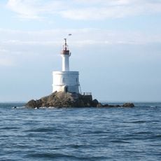
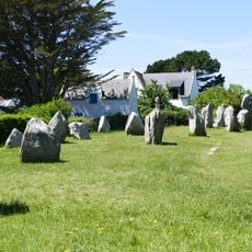
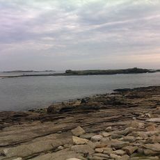
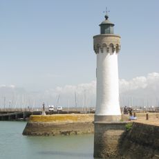
The cape served as a crucial navigation point from the 18th century onward for ships navigating the treacherous waters between Quiberon and Belle-Île-en-Mer. The rocky seabed and shifting currents made it a critical reference for seafarers navigating the Brittany coast.
The name references an old Breton family with deep ties to the sea, reflecting how the peninsula has shaped local identity for generations. The rocky coves remain gathering places where maritime traditions continue to mark the rhythm of daily life.
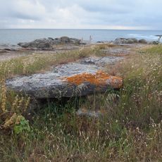
Access varies with the season and weather, especially during storms and high tides when paths become unsafe. Sturdy shoes with good grip are essential, as routes along the cliffs can be narrow and slippery.
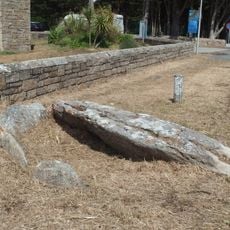
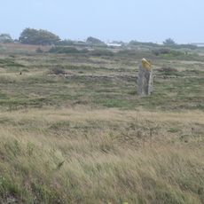
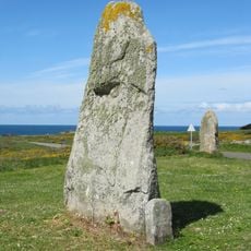
An old orientation table at the tip helps visitors identify distant islands like Houat and Hoëdic when weather permits, serving as both a navigation tool and window into how people once navigated this coast. This simple instrument bridges past and present, showing how orientation has worked for generations.
The community of curious travelers
AroundUs brings together thousands of curated places, local tips, and hidden gems, enriched daily by 60,000 contributors worldwide.