Enable Location

We need your location to show you interesting places around you

Discover nearby places

Find interesting locations and hidden gems around you

Precise directions

Get accurate directions and distances to places

Your location is never shared with other users. It's only used when you tap the location button.

Quai de Béthune

Log in to your account

Join the adventure

Create your free account and start exploring (like 60k+ others)

We will send you a code to connect

or
Continue with Google
Continue with Apple
By continuing, you accept our Terms and Conditions and our Privacy Policy

Check your inbox

We've sent a pincode in your inbox. Please enter the code below.

Quai de Béthune

Quai de Béthune, Riverside street in 4th arrondissement, Paris, France

Description

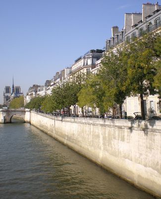
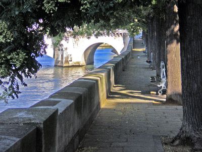
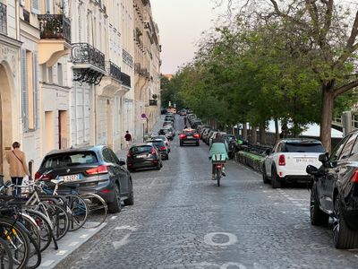
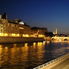
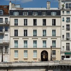
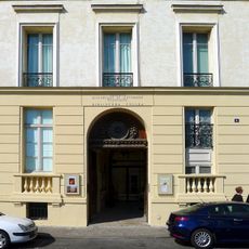
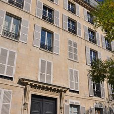
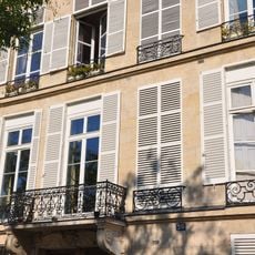
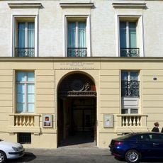
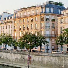
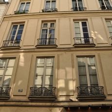
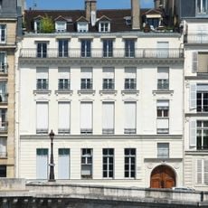
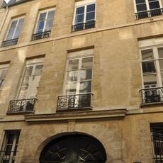
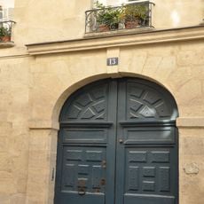
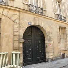
Quai de Béthune is a riverside street along the Seine on Île Saint-Louis, stretching several hundred meters with a narrow width of about 8 meters (25 feet). The street is lined with grand buildings from the 17th century that define the island's character.

History

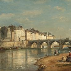
The riverside street was developed in the early 17th century and was originally named Quai du Dauphin. It was later renamed to honor Maximilien de Béthune, an influential French minister of that era.

Culture

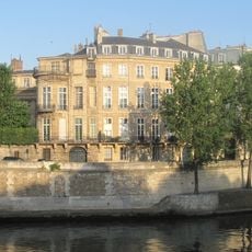
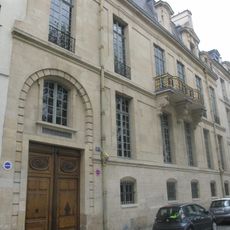
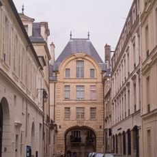
The street defines the character of Île Saint-Louis through its grand 17th-century mansions that still shape the island's appearance. Visitors can observe elegant facades that reflect how wealthy Parisians chose to live along this riverside.

Practical

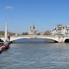
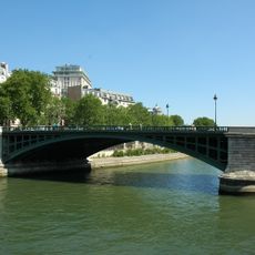
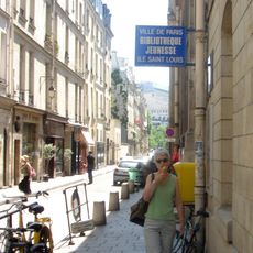
The street is easily accessible on foot and connects Pont de la Tournelle with Boulevard Henri-IV. Sully-Morland metro station is nearby and offers convenient public transport connections.

Did you know?

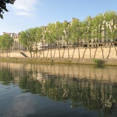
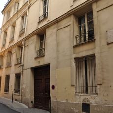
Several private gardens of the mansions face directly onto the Seine, creating small green spaces between the historic facades. These hidden gardens are rarely visible to passersby but contribute to the quiet character of the street.

Inception
1614
Length
365 m
Width
7.8 m
Part of
road network of Paris
Shares border with
boulevard Henri-IV, quai d'Orléans, rue de Bretonvilliers, rue des Deux-Ponts, rue Poulletier, Pont de la Tournelle
GPS coordinates
48.85062,2.35746
Latest update
December 11, 2025 11:04

AroundUs brings together thousands of curated places, local tips, and hidden gems, enriched daily by 60,000 contributors worldwide. Discover all places nearby (4th arrondissement of Paris).

« Quai de Béthune - Riverside street in 4th arrondissement, Paris, France » is provided by Around Us (aroundus.com). Images and texts are derived from Wikimedia project under a Creative Commons license. You are allowed to copy, distribute, and modify copies of this page, under the conditions set by the license, as long as this note is clearly visible.

Discover hidden gems everywhere you go!

From secret cafés to breathtaking viewpoints, skip the crowded tourist spots and find places that match your style. Our app makes it easy with voice search, smart filtering, route optimization, and insider tips from travelers worldwide. Download now for the complete mobile experience.

Around Us App Screenshot

A unique approach to discovering new places

Le Figaro

All the places worth exploring

France Info

A tailor-made excursion in just a few clicks

20 Minutes

Around Us
Travel Guide & Maps
Download

Send to your phone

QR Code
1

Open the camera app on your mobile.

2

Point at the QR code with your camera. A notification will appear.

3

Tap the notification to open the link.