Enable Location

We need your location to show you interesting places around you

Discover nearby places

Find interesting locations and hidden gems around you

Precise directions

Get accurate directions and distances to places

Your location is never shared with other users. It's only used when you tap the location button.

Réservoir Saint-Michel

Log in to your account

Start exploring — it's free

Trusted by 62,455 travelers worldwide

Continue with Google
Continue with Apple
or

We will send you a code to connect

By continuing, you accept our Terms and Conditions and our Privacy Policy

Check your inbox

We've sent a pincode in your inbox. Please enter the code below.

Réservoir Saint-Michel

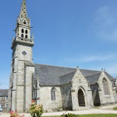
Réservoir Saint-Michel, body of water

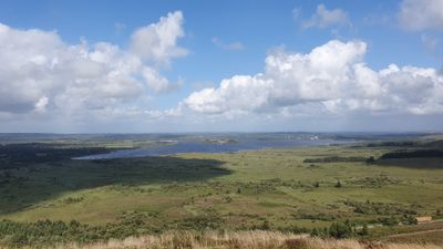
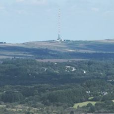
Réservoir Saint-Michel is an artificial lake in Finistère in Brittany, created in 1937 by a dam. It covers about 500 hectares and is fed by several streams including the Ellez, while a 15 km hiking trail circles the water.

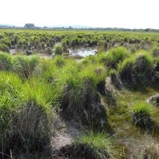
The lake was built between 1929 and 1936 by flooding wetlands and peatlands to create a dam for power generation. From the 1960s until 1985, its water was used to cool a nearby nuclear plant at Brennilis.

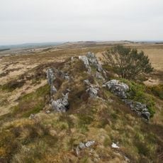
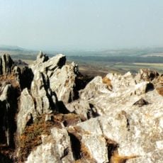
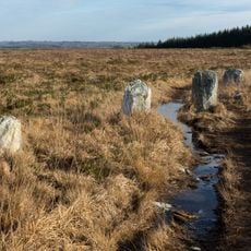
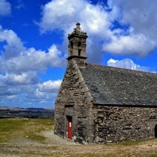
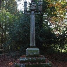
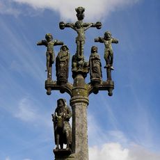
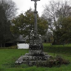
The name comes from Saint Michel, a saint venerated in Breton folk tradition. Local people today use this place for fishing and hiking, connecting it with the rural identity of the region.

The lake is best explored on foot or by boat, with parking available in Brennilis. Motorboats are not allowed, but electric boat rentals are available through Auberge du Youdig and reservations are recommended in advance.

The lake was one of the first projects in France to offer electric boats to visitors, long before they became widespread. Today the area around the lake is home to beavers that were deliberately introduced to help manage the lake's ecosystem and surrounding wetlands.

The community of curious travelers

AroundUs brings together thousands of curated places, local tips, and hidden gems, enriched daily by 60,000 contributors worldwide.

Start exploring
Location
Elevation above the sea
227 m
GPS coordinates
48.35514,-3.88979
Latest update
February 7, 2026 11:00
« Réservoir Saint-Michel - body of water » is provided by Around Us (aroundus.com). Images and texts are derived from Wikimedia project under a Creative Commons license. You are allowed to copy, distribute, and modify copies of this page, under the conditions set by the license, as long as this note is clearly visible.

Discover hidden gems everywhere you go!

From secret cafés to breathtaking viewpoints, skip the crowded tourist spots and find places that match your style. Our app makes it easy with voice search, smart filtering, route optimization, and insider tips from travelers worldwide. Download now for the complete mobile experience.

Around Us App Screenshot

A unique approach to discovering new places

Le Figaro

All the places worth exploring

France Info

A tailor-made excursion in just a few clicks

20 Minutes

Around Us
Travel Guide & Maps
Download

Send to your phone

QR Code
1

Open the camera app on your mobile.

2

Point at the QR code with your camera. A notification will appear.

3

Tap the notification to open the link.