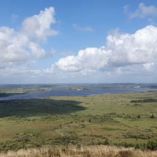
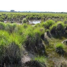
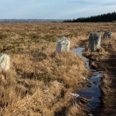
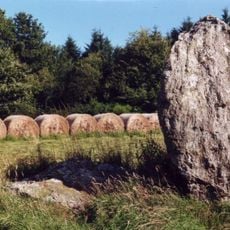
Ménez Kador, Mountain summit in Monts d'Arrée, France.
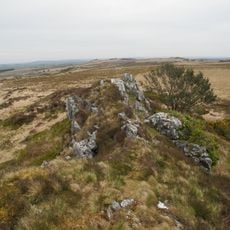
Ménez Kador is a rounded grassy summit of 384.91 m in the Monts d'Arrée, the second highest point of the Breton part of the Armorican Massif, on the border of Botmeur and Sizun in Finistère. A narrow pale path climbs its left flank to the top, where a small cluster of upright shapes stands at the highest point; dark rocky scars break the grass lower down.
Ménez Kador was long regarded as the highest point of the Monts d'Arrée. Recent topographic surveys by the Morlaix tax office, carried out for cadastral digitisation and aided by GPS precision, showed that Roc'h Ruz is higher, so Ménez Kador lost that status and is now the second-highest summit of the Breton Armorican Massif at 385 metres.
The name joins Breton words meaning 'mountain' and 'throne', reflecting how local communities use language to describe their landscape. This naming tradition shows the deep connection between the region's people and its natural features.
The summit lies on the border between Botmeur in Cornouaille and Sizun in Léon, so it can be reached from either side. A pale path climbs the left flank of the grassy dome, and a fainter track crosses the right side. Dark rocky scars break the slope lower down, and the small cluster of upright shapes marks the top.
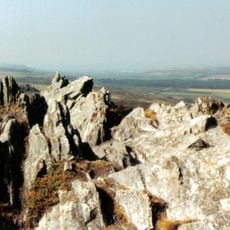
The rocky outcrop at the very top is called Roc'h ar Gudonezed in Breton, meaning "the witches' rock". Old French maps labelled the hill Signal de Toussaines, a misreading of the Breton word tosenn, "hillock".
The community of curious travelers
AroundUs brings together thousands of curated places, local tips, and hidden gems, enriched daily by 94,663 contributors worldwide.