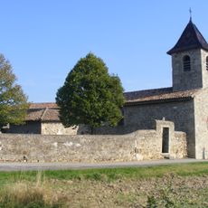
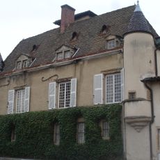
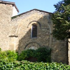
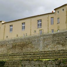
Canal de Givors, Historical canal in Givors and Rive-de-Gier, France.
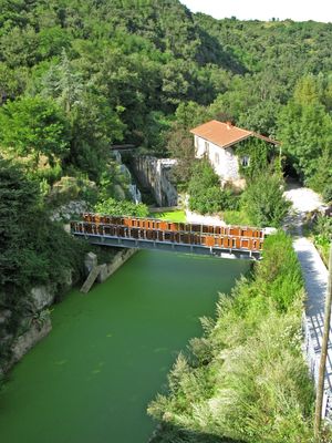
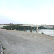
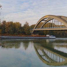
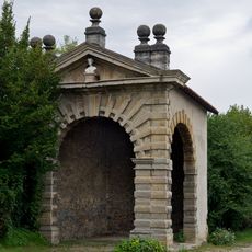
The Canal de Givors is a waterway about 15.5 kilometers long connecting several communes in the Loire department with 29 locks for water management. Today the structure runs partly beneath the A47 motorway, but remains visible at various points along its original path.
Construction began in 1763 under the direction of François Zacharie and opened in 1780 as an alternative route for goods transportation. It enabled the movement of coal and glass through the valley, shaping the region's economic development for decades.
The waterway transformed how people in surrounding towns thought about commerce and connection, making distant trade suddenly practical. Its path through the landscape still marks the memory of communities that once depended on its flow for their livelihoods.
The structure is visible at several locations, but much of it now lies beneath the modern motorway, so plan visits to accessible sections. Walking along the exposed segments in the surrounding communes offers the best way to understand what remains of this historic route.
The waterway carried around 140,000 tons of goods annually at its peak before railways started replacing it in the 1830s. This sudden shift in transportation technology shows how quickly new inventions could make older infrastructure less useful.
Location: Rive-de-Gier
Location: Tartaras
Location: Givors
Location: Saint-Romain-en-Gier
GPS coordinates: 45.59010,4.77510
Latest update: December 9, 2025 12:24
Église Saint-Martin de Millery
4.9 km
Château de La Gallée
4.5 km
Château de Charly
6.6 km
Givors suspension bridge
1 km
Pont de Givors
201 m
Viaduc de la Méditerranée
854 m
Khaled ibn El Walid mosque
573 m
Maison forte d'Épeisses
6.4 km
Église Saint-Maurice de Sérézin-du-Rhône
6 km
Église Saint-Blaise de Chassagny
3.8 km
Église Saint-Sulpice de Montagny
4.8 km
Église Saint-Romain de Saint-Romain-en-Gier
6 km
Église Saint-Antoine de Charly
6.3 km
Église Saint-Denis de Vernaison
7 km
Église Saint-Andéol de Saint-Andéol-le-Château
6.2 km
Église Saint-Blaise de Communay
4.9 km
Église Notre-Dame-de-l'Assomption de Loire-sur-Rhône
4.2 km
Château de Grigny
2.3 km
Église Saint-Mayol de Ternay
3.4 km
Saint-Sépulcre de Millery
4.3 km
Chapelle Saint-Lazare de Saint-Martin-de-Cornas
4.7 km
War memorial of Sérézin-du-Rhône
5.7 km
Maison dite de Melchior Philibert
6.5 km
Pavillon de Cornevent
6.1 km
Château de Foudras
6.3 km
Ancien prieuré de Limon
6.3 km
Château de la Porte
3.4 kmVisited this place? Tap the stars to rate it and share your experience / photos with the community! Try now! You can cancel it anytime.
Discover hidden gems everywhere you go!
From secret cafés to breathtaking viewpoints, skip the crowded tourist spots and find places that match your style. Our app makes it easy with voice search, smart filtering, route optimization, and insider tips from travelers worldwide. Download now for the complete mobile experience.
A unique approach to discovering new places❞
— Le Figaro
All the places worth exploring❞
— France Info
A tailor-made excursion in just a few clicks❞
— 20 Minutes