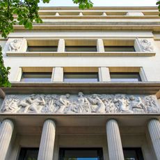
Port du Gros-Caillou, River port in Gros-Caillou district, Paris, France.
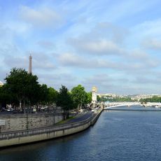
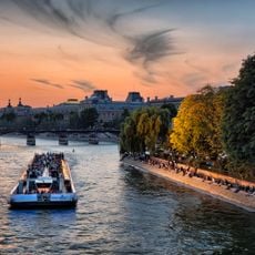
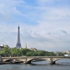
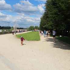
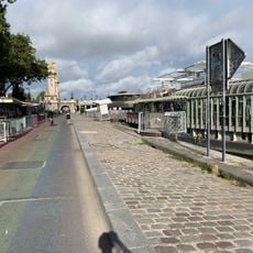
Port du Gros-Caillou is a landing place on the Seine riverbank in the 7th arrondissement of Paris. Stretching roughly 630 meters along the water, this 26-meter-wide dock accommodates various vessels and offers direct access to the river.
The quay takes its name from a decree of 18 July 1905. In the 17th and 18th centuries the site above it was market gardens, then a bourg housing craftsmen working on the Invalides, the Palais Bourbon and the École Militaire, between today's rue de l'Université and rue de Grenelle. The land between that bourg and the Seine was built up from 1823, and in 1956 part of the left-bank expressway encroached on the quay.
The name comes from a large boundary stone that once marked the limit between the Saint-Germain-des-Prés and Sainte-Geneviève territories; it had to be blown up with gunpowder around 1738. The port lies at the site of the former île aux Cygnes, and today it forms part of the parc Rives-de-Seine, along the promenade Gisèle-Halimi.
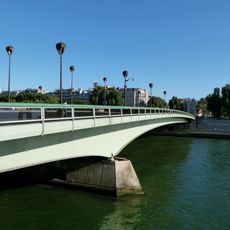
The port lies below the quai d'Orsay and the esplanade Habib-Bourguiba, between the pont des Invalides and the pont de l'Alma, and forms part of the parc Rives-de-Seine, within the promenade Gisèle-Halimi. It continues as the port des Invalides towards the Invalides and as the port de La Bourdonnais towards Alma.
The port lies at the level of the former île aux Cygnes, an island that has since disappeared. The name "Gros-Caillou" may come from a large boundary stone that once separated the territories of Saint-Germain-des-Prés and Sainte-Geneviève; it had to be blown up with gunpowder around 1738 because of its hard siliceous mass.
The community of curious travelers
AroundUs brings together thousands of curated places, local tips, and hidden gems, enriched daily by 93,036 contributors worldwide.