Chest opened
+${chestReward.xp} XP
Explorer
NOUVEAU ×${chestReward.collectible.quantity}
tapez pour fermer
Chest locked

Open chests in the app

Around Us is built for your phone — chests unlock when you walk, explore and capture nearby places.

Enable Location

We need your location to show you interesting places around you

Discover nearby places

Find interesting locations and hidden gems around you

Precise directions

Get accurate directions and distances to places

Your location is never shared with other users. It's only used when you tap the location button.

Log in to your account

Start exploring — it's free

Trusted by 72,902 travelers worldwide

Continue with Google
Continue with Apple
or

We will send you a code to connect

By continuing, you accept our Terms and Conditions and our Privacy Policy

Check your inbox

We've sent a pincode in your inbox. Please enter the code below.

Gergovie plateau
Discussion Reviews Photo
16.1k Popularity

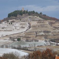
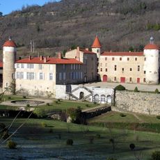
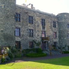
Gergovie plateau, Historical plateau and archaeological site near Clermont-Ferrand, France

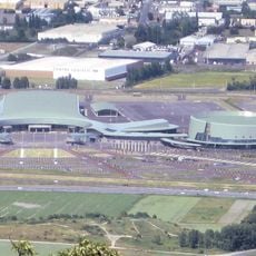
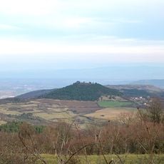
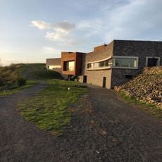
Gergovie plateau is a wide elevated landmass with volcanic foundations in the Auvergne region, extending across roughly 70 hectares. From its surface, visitors can see across the surrounding landscape, including distant mountain ranges and the city of Clermont-Ferrand.

The site gained importance in 52 BC when Vercingetorix, a Gallic leader, defeated the Roman legions of Julius Caesar at this location. This battle marked a turning point in the conflict between Gallic forces and Rome.

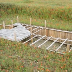
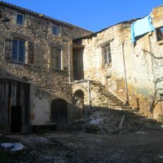
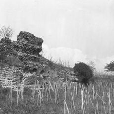
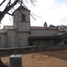
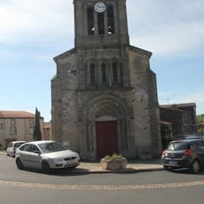
The plateau served as a gathering place for Gallic communities who built homes, workshops, and storage facilities across its surface. The visible remains of these settlements show how people organized their daily lives in this elevated region.

The plateau is accessible through several marked paths that offer varying lengths and difficulty levels, leading to different viewpoints. There is plenty of room for walking, so visitors can choose their own pace and explore various areas of the elevated landmass.

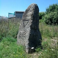
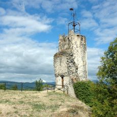
The plateau displays layers of basalt and limestone, with the volcanic rocks clearly visible and telling the story of the region's geology. This geological mix makes the location valuable for understanding the volcanic history of Auvergne.

The community of curious travelers

AroundUs brings together thousands of curated places, local tips, and hidden gems, enriched daily by 60,000 contributors worldwide.

Start exploring
GPS coordinates
45.72028,3.11806
Latest update
March 31, 2026 15:28
Reviews
Share your experience

No review yet

Discussions
Start a discussion...

No discussion yet

« Gergovie plateau - Historical plateau and archaeological site near Clermont-Ferrand, France » is provided by Around Us (aroundus.com). Images and texts are derived from Wikimedia project under a Creative Commons license. You are allowed to copy, distribute, and modify copies of this page, under the conditions set by the license, as long as this note is clearly visible.

Discover hidden gems everywhere you go!

From secret cafés to breathtaking viewpoints, skip the crowded tourist spots and find places that match your style. Our app makes it easy with voice search, smart filtering, route optimization, and insider tips from travelers worldwide. Download now for the complete mobile experience.

Around Us App Screenshot

A unique approach to discovering new places

Le Figaro

All the places worth exploring

France Info

A tailor-made excursion in just a few clicks

20 Minutes

Around Us
Travel Guide & Maps
Download

Send to your phone

QR Code
1

Open the camera app on your mobile.

2

Point at the QR code with your camera. A notification will appear.

3

Tap the notification to open the link.